
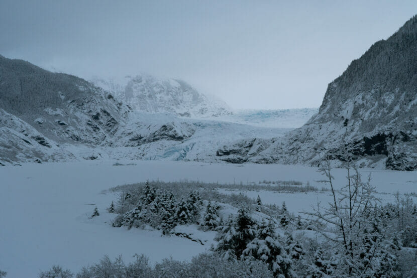
After a bout of heavy snow early this week, rainier weather is expected across the panhandle, with another wet front approaching before the weekend.
Snow piled up across much of the region early in the week, but National Weather Service meteorologist Pete Boyd says the winter weather is expected to lighten up as new fronts take over in the region.
“At this point, no accumulation as high as we saw with this last front, but enough to keep some steady shoveling going,” he said.
This last winter front brought heavy snowfall across parts of Southeast, with 4 to 10 inches in Juneau and up to seventeen inches in nearby Haines.
Weaker, drier fronts will move in later in the week, along with warming temperatures.
“The other thing we’re getting is a lot more mixing within the precipitation,” Boyd said.
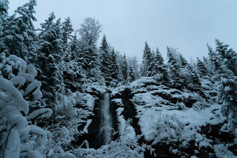
Flurries of rain and possible snow will turn to light snowfall as temperatures drop at night. Boyd says it won’t be enough snowfall to cause major impacts at sea level, but fluctuating temperatures could cause icy conditions on roads and sidewalks over the next few days.
According to the urban avalanche forecast, wetter, heavier snow in the coming days will bury the loose, lighter snow from earlier this week, which will increase the potential for avalanches.
The current urban avalanche advisory says the hazard is “considerable,” but the forecast for the rest of the week predicts low snowfall overall, which will likely prevent the advisory from climbing any higher.
