
“The players who would have the billions of dollars to explore, develop, produce are not bidding,” said longtime Alaska oil and gas industry observer Larry Persily. “They’re not at the table, they have no appetite for it.”
Arctic
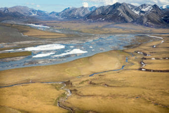
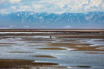
A new oil lease sale for the Arctic refuge draws mixed reactions from Alaska Native communities
The sale is mandated in federal law but also reflects the Trump administration’s commitment to promoting energy development in the state.
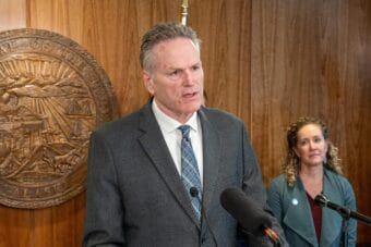
Trump appoints Alaska governor to a seat on U.S. Arctic Research Commission
This is the first time a sitting governor has served on the commission, which promotes Arctic research and advises on funding priorities.
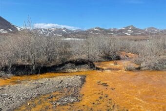
Report details threats from a warming Arctic: ‘These changes cascade directly into people’s lives’
For the past 20 years, NOAA’s Arctic Report Card has documented changes in the region, which continues to warm faster than the rest of the globe.
As the Arctic heats up, the U.S. Coast Guard’s icebreaker fleet is preparing for boom times
The Trump administration and Congress, seeking to improve security, have approved funding for eight icebreakers and are planning even more.
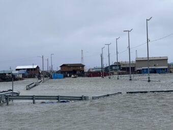
Kotzebue issues mandatory evacuation order ahead of flooding from coastal storm
Water could rise as much as 10 feet above the high tide line, according to the National Weather Service.