
The goal is to identify and plan for potential climate impacts on traditional life and infrastructure in the area.
Climate Change
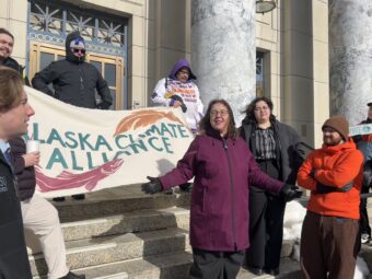
Small group of Alaskans rally for climate action at Capitol
About 25 people, including organizers and lawmakers, rallied in support of climate bills.
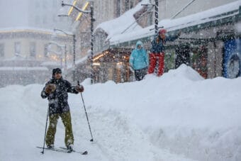
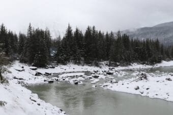
Juneau’s wild winter bucks the climate trend
It’s Juneau’s third snowiest winter on record so far, but the season overall has gotten warmer and less snowy over the long term.
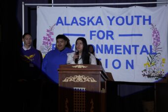
Alaska youth present climate and environment films at Juneau screening
Members of Alaska Youth For Environmental Action shared personal narratives as part of their Civics and Conservation Summit.
Proposed buyout for Juneau residents hit hardest by glacial outburst flooding might be ‘dead in the water’
The city has indicated it can’t afford to sponsor the program, and most View Drive residents say they’re not interested in shouldering the cost.
Army Corps backs out of plan to study lake tap as long-term Mendenhall Valley flood solution
Juneau’s City Manager Katie Koester shared the news at a Juneau Assembly committee meeting Monday night. She called the Army Corps’ change of position deeply frustrating.