
The U.S. Geological Survey is expanding its landslide monitoring efforts in Southeast Alaska. The goal is to eventually develop an emergency alert system.
Data from Juneau’s Mount Roberts went online last month.
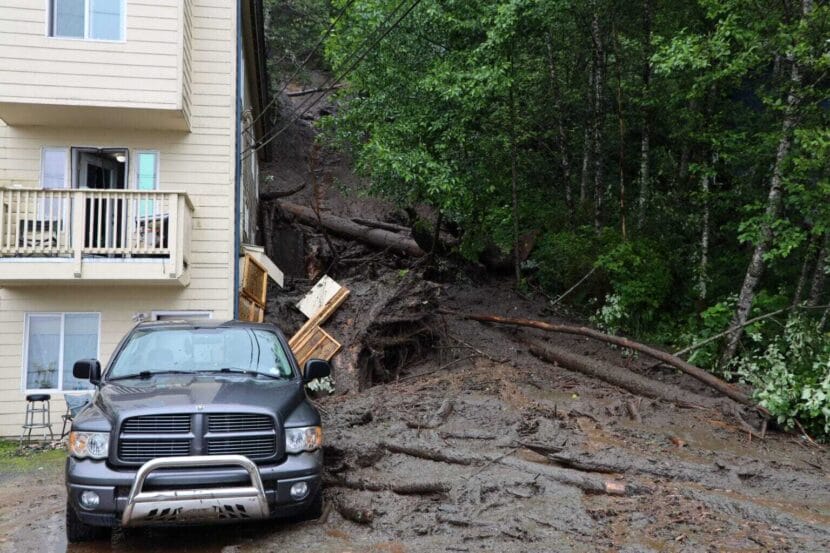
Dennis Staley leads the Alaska Landslide Hazards Project at USGS. He said that even though people in Southeast die from landslides, there aren’t forecasts for them yet. At least a dozen people have died in landslides in the region over the past decade.
“We’re trying to understand the hydrometeorological conditions that make landslides,” he said.
In Juneau, Staley said his team chose research sites on the northwest and southwest slopes of Mount Roberts partly due to the danger posed to the downtown area. Numerous recent and historic landslides have struck the town, including one in 1936 that killed 15 people.
The agency’s end goal is to build a model that can use weather forecasts to reliably predict when slopes are likely to be unstable, then warn those who live beneath them. But Staley said it will take years to amass a large enough data set to create such a model.
The team deployed several sensors on Mount Roberts to gather the data. The first is a heated rain gauge that measures rain and snow. The others are buried in the ground to measure three main factors in the soil: saturation, cohesion and the water pressure between soil particles. The data will help the USGS measure how strong the slope is and how that changes in response to the weather.
Even after scientists make the model, Staley said that they won’t be able to anticipate precisely where the land will give way.
“Locally, there can be tremendous variability in the way soil responds to the introduction of water, even at very short distances,” he said.
So far, the USGS has established research sites in Juneau and Sitka. The agency plan to add another Southeast community this fall, but Stale said they are not prepared to announce where yet.
