
Update Wednesday 12:50 p.m.:
The National Weather Service has issued a blizzard warning for Juneau through 6 p.m. Wednesday.
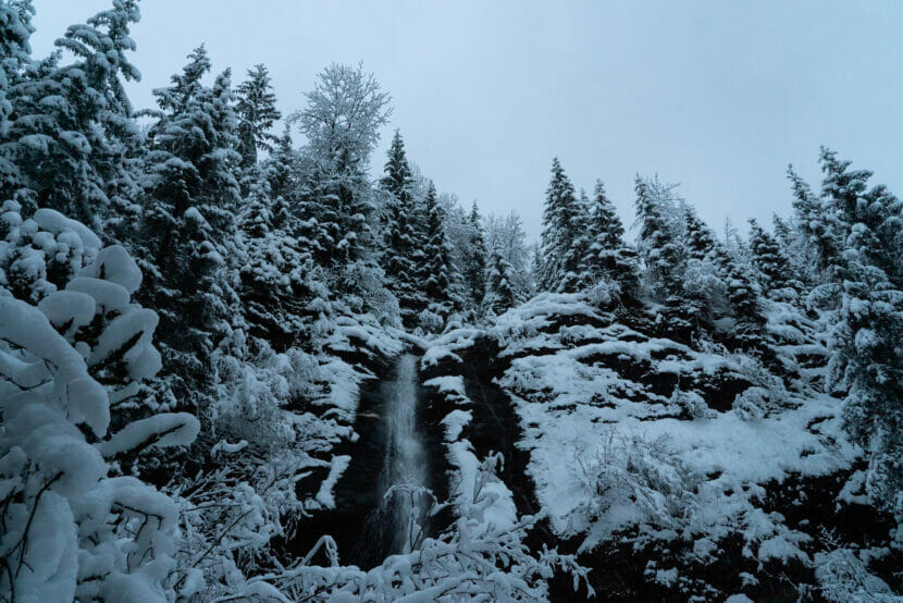
Snow amounts of 5 to 10 inches have been reported in the region, with 4 to 6 inches more expected.
“Some blowing snow has also been seen with visibilities down to a quarter mile or less at times. The southern panhandle and Sitka have warmed enough to change to rain, but have been seeing gusts to 45 mph,” the warning says.
The city’s current urban avalanche advisory is high.
Juneau schools and city offices will close early Wednesday due to conditions.
Original story:
The National Weather Service has issued a winter storm warning in much of northern and central Southeast Alaska starting at midnight Wednesday, with up to 15 inches expected in Juneau.
NWS Meteorologist Edward Liske says snow will start accumulating while many in Juneau are asleep.
“Should have four to possibly six inches of snow already on the ground by the time you get up and get ready to go to work,” he said.
Liske says those who commute to work should make extra time for driving Wednesday morning.
That snowfall will be accompanied by wind gusts between 35 and 40 mph, which could cause blowing snow and reduced visibility.
“Slow down, prepare, be prepared for slippery, possibly snow-covered roads,” he said.
Accumulations of 8 to 15 inches are possible in Juneau, Gustavus, Hoonah and Haines by the end of the day Wednesday. The winter storm warning will expire at midnight on Thursday.
Liske says total accumulations are hard to predict, as they will depend on snow density. He predicts that snow will start out dry and fluffy, but there is a potential for a wintery mix of rain and snow Wednesday as temperatures warm.
Juneau Emergency Programs Manager Tom Mattice says that combination won’t bode well for urban avalanche danger.
“If temperatures are increasing during the storm, and we’re seeing increasing winds during a storm, especially as temperatures increase through the point of freezing, things definitely become unstable a lot quicker,” he said. “The danger will be increasing rapidly.”
Mattice says the snowpack that’s formed this winter has a lot of weak layers, which means a high potential for larger avalanches. He encourages people to pay close attention to the updated urban avalanche advisory on Wednesday morning.
Correction: This story has been updated to reflect that the storm warning expires at midnight on Thursday.
This post has been updated with new information from the National Weather Service.
