Southeast communities felt the shudder of two earthquakes on Friday evening.
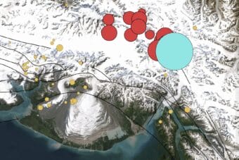
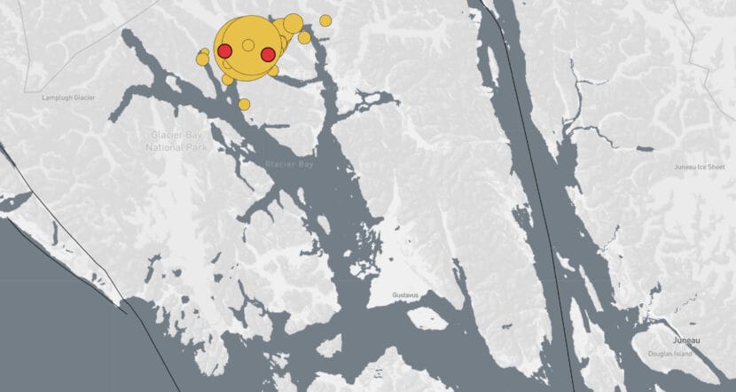
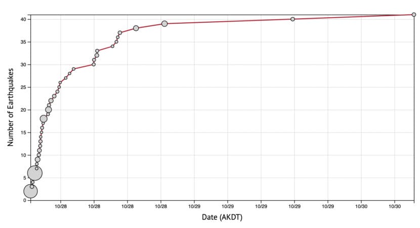
A pair of quakes — first a magnitude 5.1 and then a magnitude 5.3 — happened about 45 minutes apart near Glacier Bay National Park. They were felt lightly in communities as far away as Juneau and Whitehorse. Smaller aftershocks continued through the weekend — about 40 so far.
Senior scientist Natalia Ruppert with the Alaska Earthquake Center said moderately sized quakes like these are not surprising for the region.
“These are common, although they are infrequent,” Ruppert said. “Maybe once every three or four years. So it kind of fades away from people’s minds.”
Over the past decade, a few significant quakes have shaken Southeast Alaska. In 2017, a pair of magnitude 6-plus quakes near Haines caused some damage in Whitehorse. And in 2013, a magnitude 7.5 earthquake near Craig was felt as far away as Seattle.
Back in 1958, a magnitude 7.8 quake damaged docks and bridges in Yakutat and triggered a landslide that generated a deadly tsunami in Lituya Bay — the highest ever recorded.
Quakes in Southeast Alaska often happen near two faults — the Denali Fault, which extends south from the Alaska Range through Southeast Alaska, and the Fairweather Fault, which runs along the coast. In this case, the quakes originated from a strip of land between the two.
Both are strike-slip faults, which are fractures between two different pieces of earth that move horizontally. The earth on either side of the fault moves at different rates. Ruppert said it’s like two cars driving at slightly different speeds in parallel lanes on the highway.
“If you put a rubber band around those two cars, it would keep stretching, stretching,” Ruppert said. “And that’s how the pressure builds up.”
When the rubber band breaks, pressure is released. That’s when a quake happens.
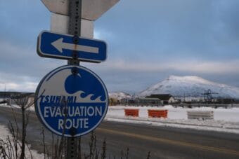
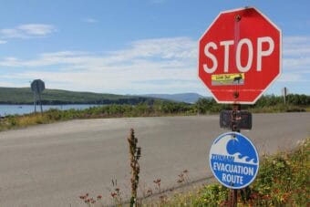
Strike-slip faults are typically pretty close to the surface, so even small or moderate quakes are easier to notice. Residents who felt the earthquakes are encouraged to fill out the “Did you feel it?” form from the U.S. Geologic Survey, to help scientists with their follow-up analysis.