
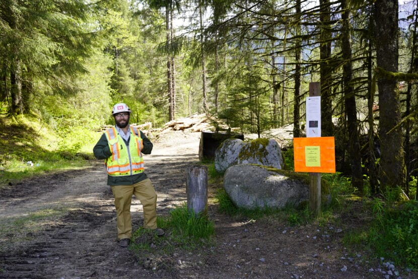
The U.S. Forest Service closed the entrance to Juneau’s Back Loop Bridge Trail in Mendenhall Valley on Monday. A portion of the hiking area has become part of the glacial outburst flood wall construction zone.
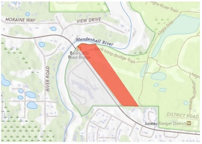
At a flood preparedness workshop at Thunder Mountain Middle School on Tuesday, staff at the U.S. Army Corps of Engineers said they’re raising an 1,110 foot-long dirt berm parallel to the road. So far, they’ve cleared a swath of trees where the berm will go. The trailhead closure should end July 25.
Ryder Newland is the mission manager for Phase 2 of the HESCO barrier project at the Army Corps. At the workshop, he pointed to a map of the berm on a large round table.
“It’s gonna have erosion protection with rocks on the outside, a trail on the top,” he said. “It’s just a berm.”
He said it’s meant to prevent floodwater from breaking through the existing glacial moraines, crossing Back Loop Road and flowing into neighborhoods on the other side, including the Mendenhall River Community School. The flood hasn’t taken that path before.
“The majority of those moraines there are high enough already, as you guys have seen, but there’s some gaps, and we’re just filling those gaps,” Newland said.
The berm is part of the Army Corps and the City and Borough of Juneau’s effort to build a wall that can withstand a flood about 30% larger than last year, though it wasn’t part of the original plan. Staff at the agency said their flood modeling shows the berm should not raise water heights on View Drive, an unprotected street with 18 houses on the opposite side of the river.
The entire flood wall is still scheduled to be finished by July 15. The goal is to finish before the next flood.
Aaron Jacobs is the senior service hydrologist at the National Weather Service in Juneau. He said scientists can’t predict exactly when the annual flood will happen. For the past three years, it’s struck within the first two weeks of August.
But, as summer stretches on, he said scientists will be able to narrow in on a rough timeline for when Suicide Basin will fill to the top. That’s the massive lake dammed by Mendenhall Glacier that causes the flood when it releases all at once.
“Of course, right now, that window is very large, like that July 17 through August 21,” Jacobs said.
He said the window can change depending on temperature and precipitation. A relatively hot, wet summer will fill the basin quicker than a cold, dry one.
 (5)")