
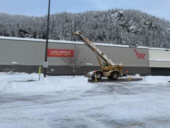
A spokesperson says the closure is “out of an abundance of caution” while staff remove snow and address building maintenance. They did not say when Fred Meyer would reopen.
Weather
Watch: Local officials share information on Juneau disaster response
City and tribal staff shared information about the ongoing snowstorm response and the National Weather Service provided an update on the heavy rain.
Dunleavy approves assistance to Juneau after city, tribe declare disaster following record snow
The mayor said that Gov. Mike Dunleavy has verbally approved the request and will send a state emergency management specialist Thursday.
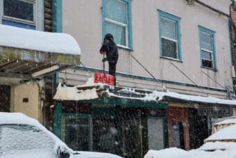
Bill Ray Center roof collapses downtown as roof-shoveling conditions grow more dangerous
Rain and snowmelt doesn’t necessarily mean the snow load on roofs has decreased, and warmer temperatures have made roofs more slippery.
Sustained snow and cold stretch resources of northern Lynn Canal residents. Community spirit and a list are helping.
Community members in Haines and Skagway are caring for each other in these extreme conditions with shovels and the Internet.
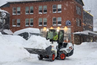
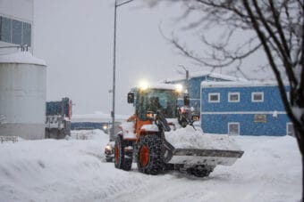
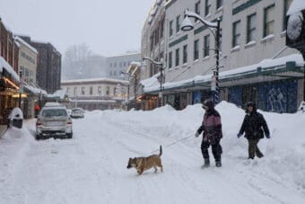
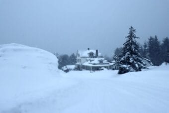
Snowpocalypse continues as Juneau runs out of places to put it all; school closed again
The city is still tallying damages from last week’s record snowfall as more continues to accumulate.