
The National Weather Service issued a cold weather advisory for Thursday evening through Sunday and a high wind watch for the weekend.
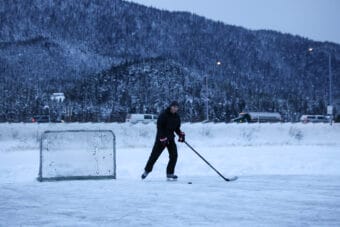
Weather
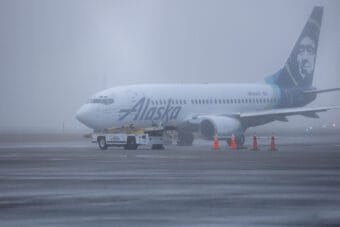
Lightning strikes milk run flying from Juneau to Sitka Monday morning
The plane landed safely in Sitka, but the airline eventually cancelled the flight.
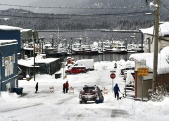
Arctic temperatures hit Southeast Alaska as Petersburg sees record snowfall
Over 15 inches of snow fell in Petersburg. The town got 7.8 inches on Monday alone, breaking the daily record for Dec. 8 by 3.8 inches. Another 7.5 inches of snow fell on Tuesday.
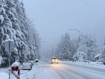
Winter storm sets a local snow record and strands a high school Nordic team in Whitehorse
Juneau received 9.6 inches on Saturday alone, breaking the Dec. 6 record. Clear skies are in the forecast.
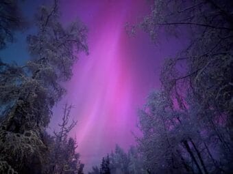
Even scientists who’ve studied the aurora for decades say this solar storm is special
This week’s powerful coronal mass ejections could bring even more auroras in the coming days.
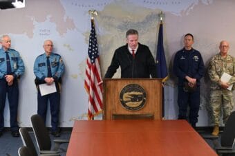
Officials say storm ‘completely devastated’ Western Alaska communities
A Coast Guard commander recounts scenes of Alaskans swimming in floodwaters in the middle of the night, in search of debris to hold onto.