
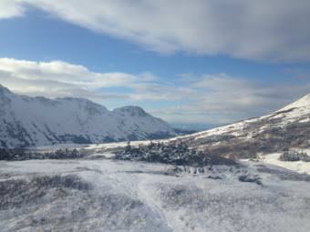
The first snow of the season is a great marker for the start of winter. Most of the state is more or less on track with their normal first snow date.
Annie Feidt, Alaska’s Energy Desk
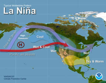
Ask a Climatologist: La Nina could make winter feel like winter in Alaska
La Nina typically brings cooler and drier conditions to Alaska. And because of global warming, that may mean a more typical winter for much of the state.
Ask a Climatologist: How the jet stream affects Alaska
In Alaska, big fall storms are often associated with the jet stream.
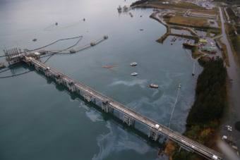
Cleanup indicates Valdez spill bigger than initially thought
According to Alyeska Pipeline Service Company, approximately 400 gallons of an oily water mix had been recovered from the Port of Valdez as of Saturday night.
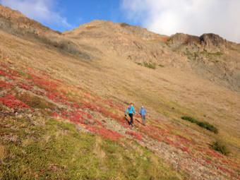
Ask a Climatologist: The fall color formula is pretty simple
Weather conditions aren’t a driver of when fall colors appear, but weather events can drive the extent, duration and intensity of fall colors.
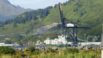
Kodiak has almost 100 percent renewable power. It took some sci-fi tech to get there.
It’s like a dance, or an orchestra: Each piece of the grid watches the rest and responds second by second, millisecond by millisecond.