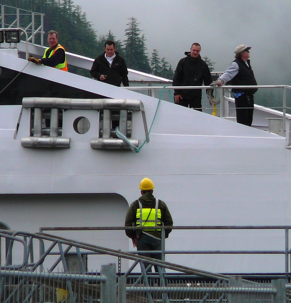
The ferry Matanuska is propped up, out of the water, during earlier maintenance at the Ketchikan Shipyard. It will be out of service this fall so it can get new engines and related equipment. (Photo by Heather Bryant/KTOO)
The Alaska Marine Highway System has begun taking reservations for fall, winter and spring sailings.
“The service schedule is nearly identical to last year. The same with the operating budget. We’ve shifted some boats around, but the service itself is basically the same,” she said.
The shifting will allow the 54-year-old ferry Matanuska to undergo significant upgrades.
Capt. John Falvey is the marine highway’s general manager.
“We’re going to have new engines, new auxiliary equipment, basically a new engine room. And it doesn’t just stop at the engines. It’ll go from the reduction gear all the way out to the shaft and the props and rudders,” he said.
He said the work will cost about $36 million, using mostly federal funding.
The schedule was released Aug. 10, after a shorter-than-usual public-comment period. That’s because the Legislature made its budget decisions in late June, months beyond the usual deadline.
Marine highway employees tie up the Fairweather in Sitka Aug. 6, 2012. A federal lawsuit alleges the marine highway violates family medical leave rules. (Photo by Ed Schoenfeld/CoastAlaska News)
The U.S. Department of Labor alleges the Alaska Marine Highway System violates federal leave laws.
A civil suit filed in U.S. District Court alleges the ferry system miscalculates time off mandated by the Family and Medical Leave Act.
State officials deny that claim.
The act requires large employers to provide 12 weeks of unpaid leave when a child is born, fostered or adopted. Terms also cover care for a seriously ill family member – or the employee him or herself.
The conflict surrounds what are called “rotational employees.” Those are ferry staffers who work for one or more weeks straight, then take the same amount of time off.
The federal complaint, filed Aug. 16, said the ferry system counts such time off as part of the 12 weeks leave required by federal law. It said that’s illegal.
U.S. Department of Labor attorneys in Anchorage and Seattle did not return calls for comment by this report’s deadline.
Cori Mills, with Alaska’s Department of Law, said the ferry system did nothing wrong.
“The state continues to assert its long-standing interpretation of the Family (and) Medical Leave Act, and will continue to support that in the court action,” she said.
She said the state is aware of the complaint, but has not been served with an official copy.
The complaint asks the court to order the state to follow the Labor Department’s interpretation of the rules.
It asks that any fired employee be reinstated and compensated for lost wages and benefits. It also calls for any worker who lost pay or leave time to have it restored.
The suit does not say how many employees have been affected or what jobs they held.
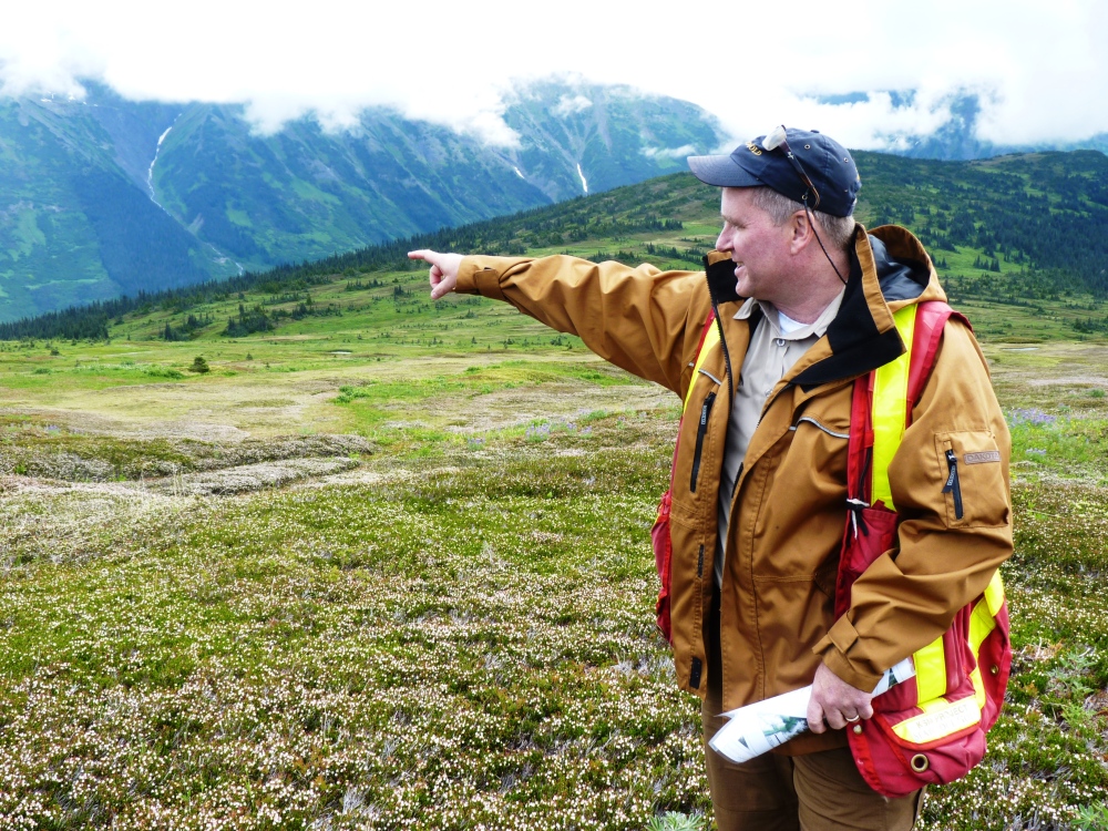
Seabridge Gold’s Brent Murphy points to a valley to be dammed to hold tailings from the KSM mine during a 2014 tour. The tailings dam was granted a key federal permit needed for development this summer. (Photo by Ed Schoenfeld/CoastAlaska News)
A new gold mine has gone into production near British Columbia’s border with Southeast Alaska, one of several prospects under exploration near creeks or rivers that flow into the region.
The Brucejack Mine pours its first gold bar in June of 2017. The mine is about 25 miles from the Alaska border. (Photo courtesy Pretivm Resources press release)
The Brucejack Mine had what’s called its “first pour” — or when refined ore is melted down to make a project’s first bar of gold — this summer.
The high-altitude mine is about 25 miles from the Alaska border and about 80 miles east of Wrangell. It’s within the watershed of the Unuk River, which drains into the ocean northeast of Ketchikan.
Officials at Vancouver-based mine owner Pretivm Resources did not return calls by this report’s deadline.
But in an earlier interview, vice president Michelle Romero said the company is building on a previous owner’s work.
“There was existing underground excavation done and we had used that access to get to the heart of the project, which is the Valley of the Kings,” she said.
A company news release said its main ore body has proven reserves of 1.6 million ounces, worth about $2 billion in U.S. currency. It projects total reserves of four times that much gold, plus a significant silver deposit.
Brucejack is far less controversial than some other British Columbia mining projects across the border from Southeast Alaska.
Heather Hardcastle is a fisheries-business owner and campaign director for the environmental group Salmon Beyond Borders.
“It is a lot smaller than the other mines in the transboundary region and it is an underground mine,” she said. “As far as the disposal of tailings go, we certainly feel better about their plans to put the tailings and the waste back underground.”
Tailings are ground-up rock, often containing hazardous minerals, that are leftover from processing ore. Mine critics say the common practice of mixing them with water and storing them behind dams threatens downstream fisheries.
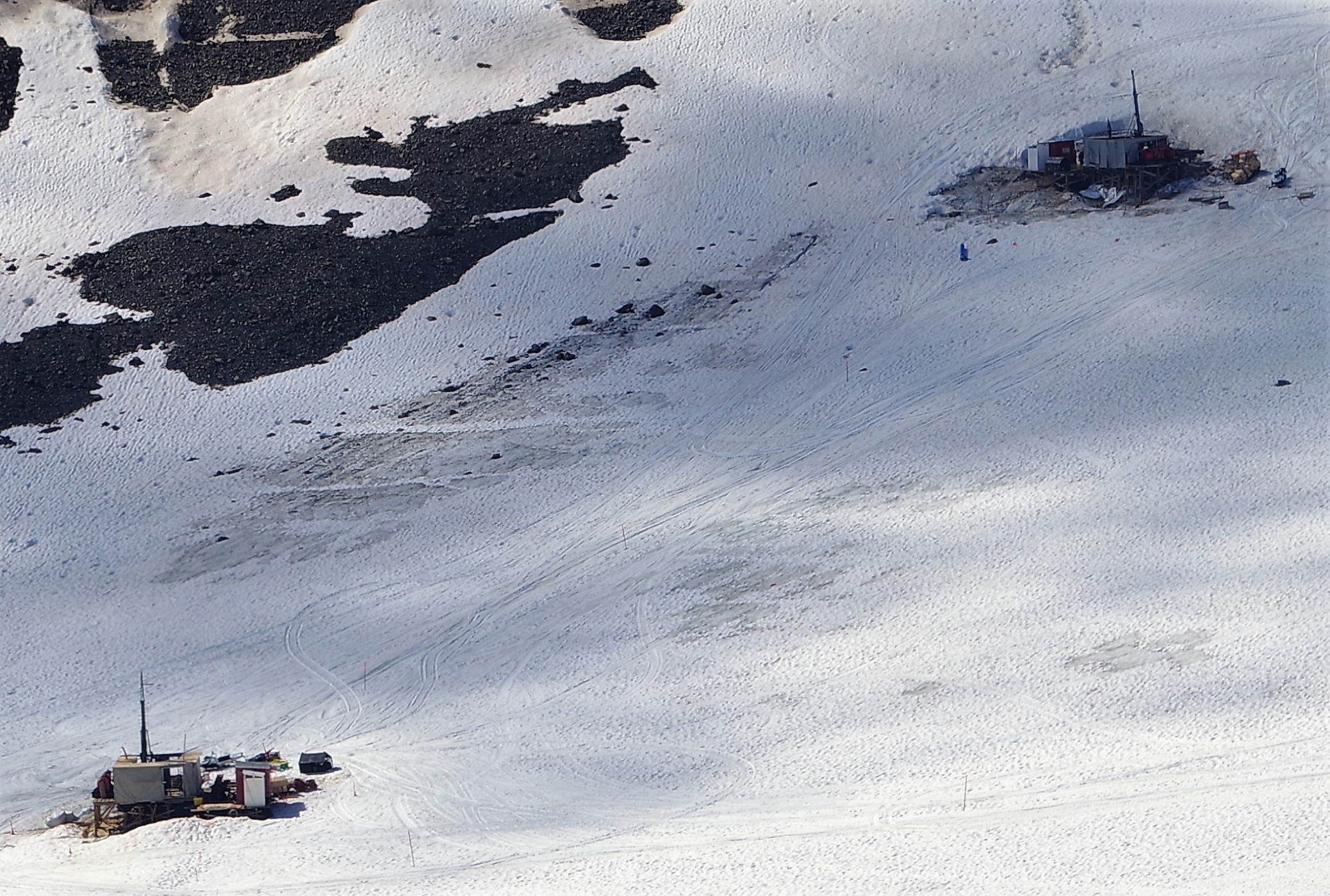
Rigs drill through snow into the Iron Cap deposit in July, 2017, as part of Seabridge Gold’s KSM exploration project. (Photo courtesy Seabridge Gold)
Hardcastle said her main concern is that it’s part of a larger effort to develop more than a half-dozen projects that would use tailings dams.
What’s known as KSM won a key permit from Canada environmental officials this summer.
Brent Murphy is vice president of environmental affairs for Toronto-based developer Seabridge Gold.
“The permit that we got was essentially an amendment to the federal law that allows us to go in and deposit essentially waste material into streams that are frequented by fish,” he said.
Murphy said the permit requires the company to post an appropriate bond and create twice as much fish habitat as it destroys.
This summer is KSM’s 11th for exploratory drilling. Murphy said work continues to better define its high-value ore bodies.
“We have a crew of about 25 people in there, the camp has been open since early May and we’re also continuing with our ongoing environmental monitoring and it’s actually our 10th year of collection of baseline data,” he said.
KSM will store its tailings in a valley that’s part of the watershed of the Nass River, which enters an ocean inlet about 20 miles south of the Alaska border.
Hardcastle, who fishes out of Juneau, said that’s close enough to pose a threat.
“Commercial fishermen from the United States do and are allowed to catch a certain number of Nass fish,” she said. “Commercial fishermen from Alaska especially contend that we very much have concerns about what goes on in the headwaters of the Nass.”
The KSM project is supported by the Nisga’a Nation, the tribal government for the Nass River Valley. Both signed an agreement promising environmental protections, jobs and financial support.
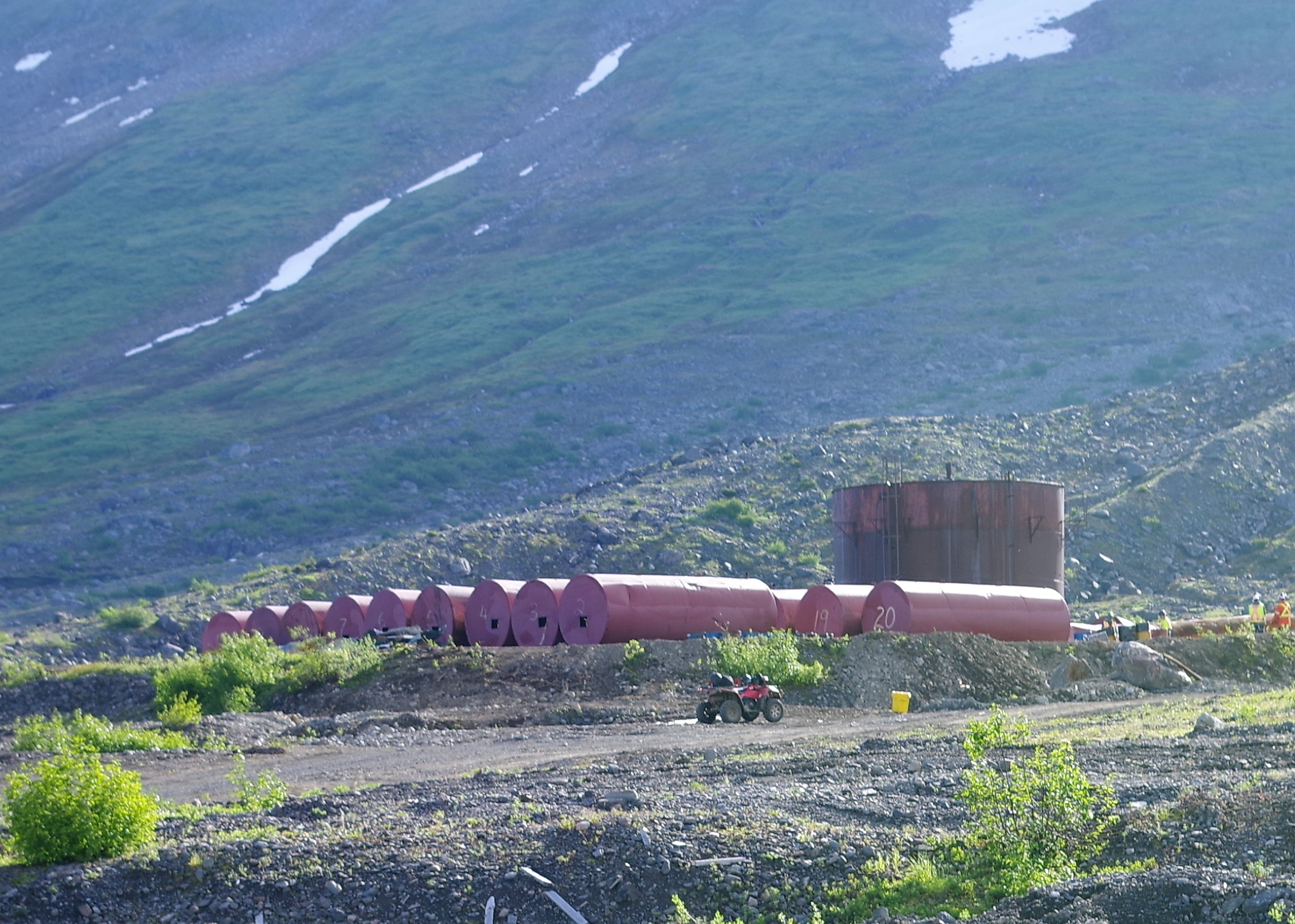
Seabridge Gold works on decommissioning the fuel tank farm at the closed Johnny Mountain Mine, about 20 miles from its KSM project, in July 2017. (Photo courtesy Seabridge Gold)
Seabridge Gold continues to seek investors for the multi-billion-dollar project.
The company also is exploring ore deposits in a nearby area. The Iskut Project is about 20 miles northwest of the KSM and approximately 10 miles from the Alaska border.
Seabridge acquired the area about a year ago. Murphy said the company has been drilling to find out more about what’s there. The prospect includes a mine that closed in 1990.
“We know there’s gold mineralization at Johnny Mountain,” he said. “We started there last year, trying to understand the geology, and we’re moving a little bit further afield this year.”
Part of the purchase is a multi-year cleanup plan, including removal of asbestos tiles, mercury lamps and a fuel-tank farm.
One transboundary mine that’s going nowhere is the Tulsequah Chief, on a Taku River tributary about 40 miles northeast of Juneau. It closed more than a half-century ago and two attempts to reopen it failed.
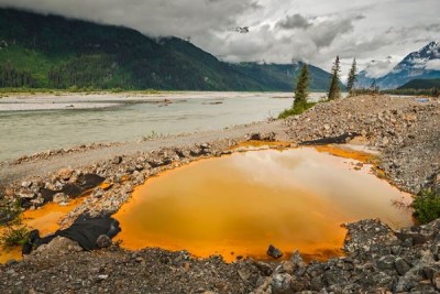
Acidic drainage from the Tulsequah Chief Mine, discolors a containment pond next to the Tulsequah River in British Columbia in 2013. (Photo courtesy Chris Miller/Trout Unlimited)
The company holding its assets filed documents earlier this summer suggesting it had found a new investor. But mine critic Chris Zimmer, of the group Rivers without Borders, said officials have told him the company is no longer interested.
“Now, we’re kind of back here in a little bit of limbo. There’s no company up there, the mine continues to leak acid mine drainage and now we’re kind of unsure what the B.C. government is going to do next,” he said.
The province’s previous top mine official committed to cleaning up pollution from the Tulsequah Chief after a visit two years ago.
But a new mines minister just took over and isn’t ready to discuss the situation.
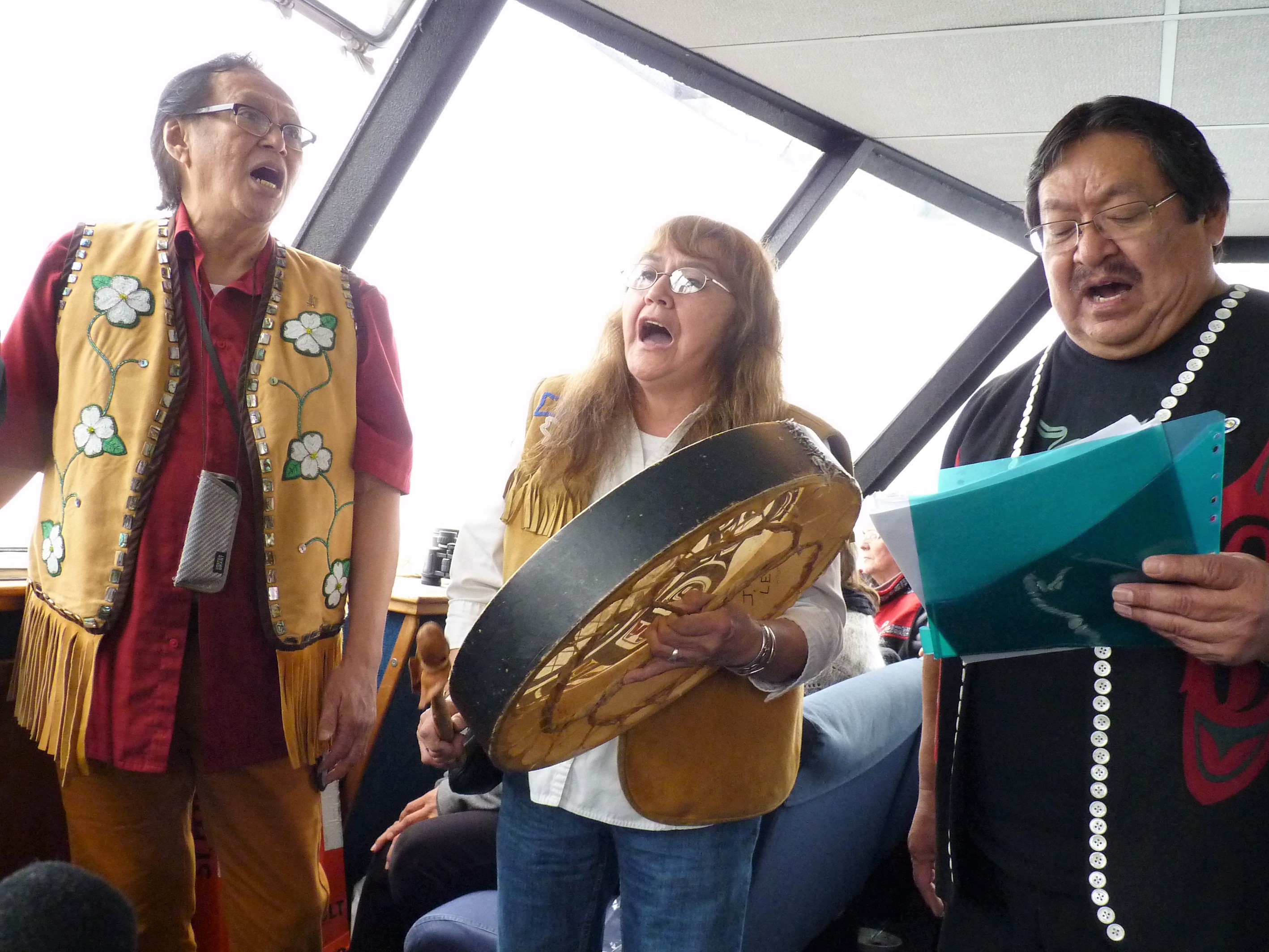
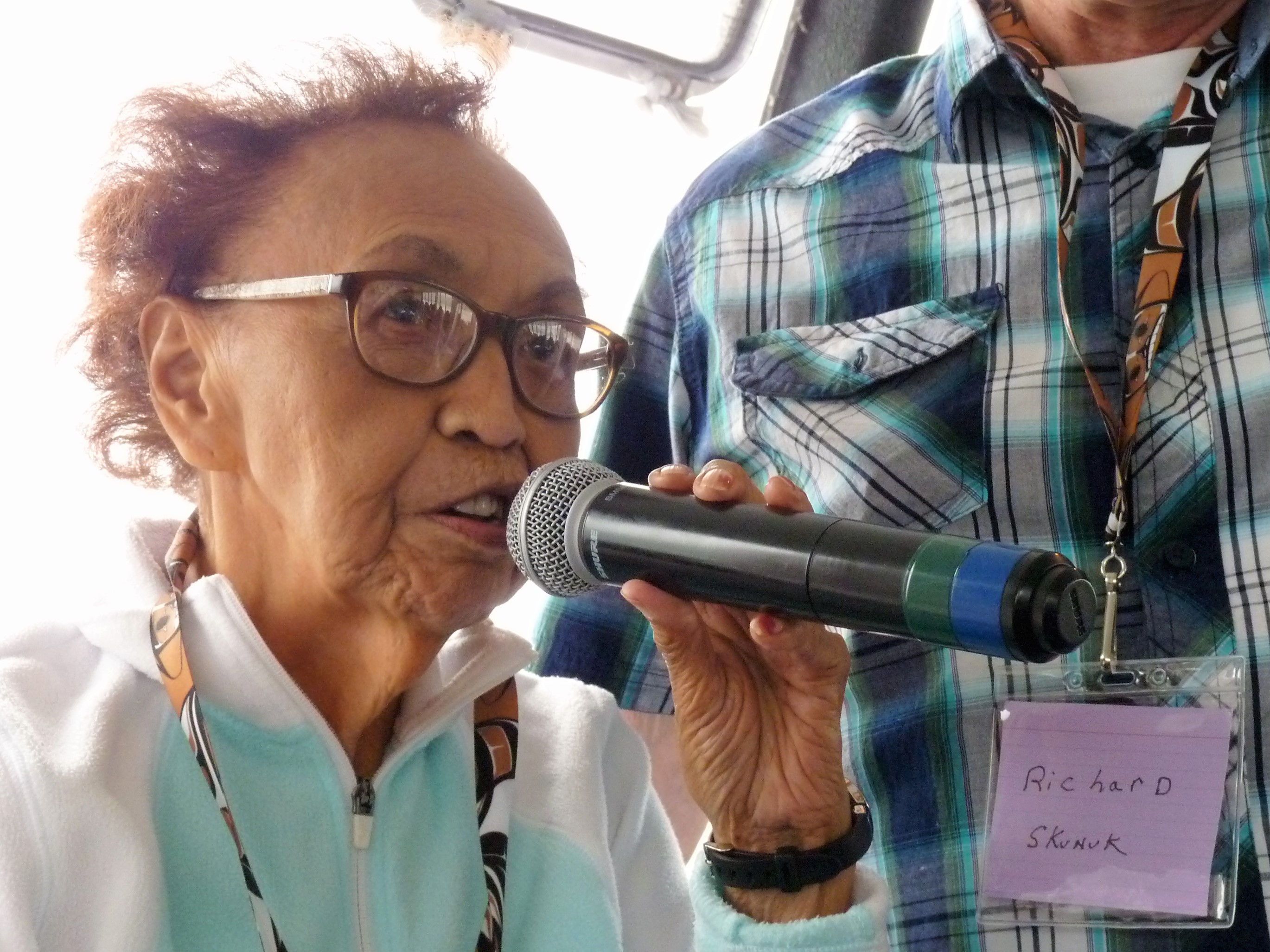
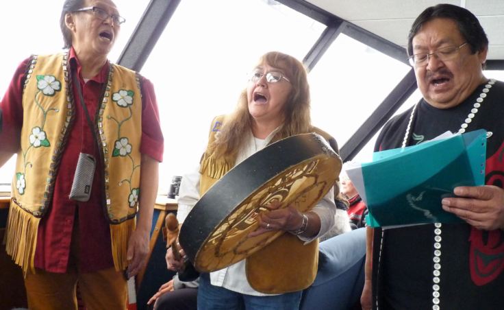
Members of the Yaaw Tei Yi Tlingit Dancers sing during a July 28, 2107, tour of the Taku Tlingits' traditional territory. (Photo by Ed Schoenfeld/CoastAlaska News)
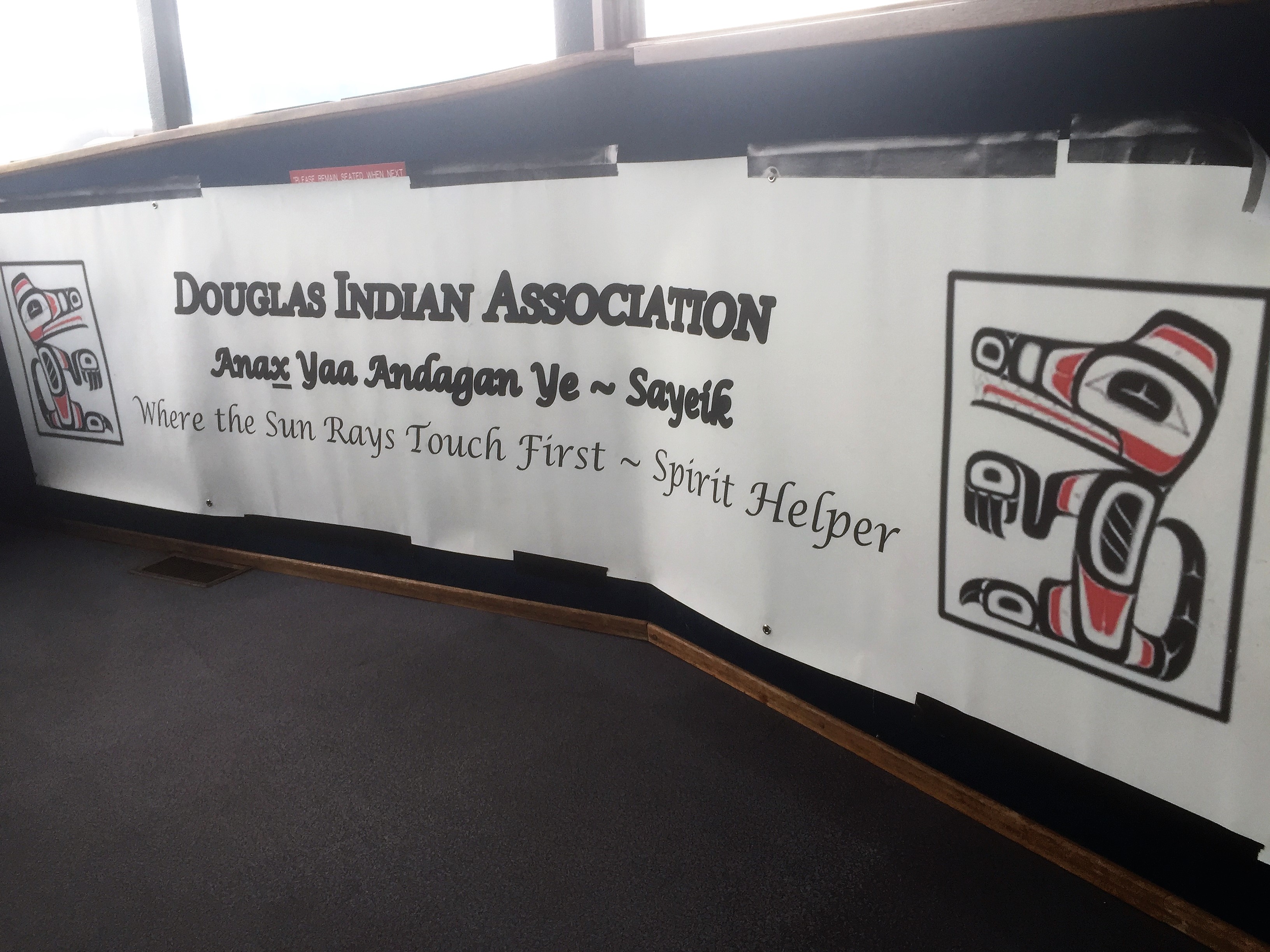
The Douglas Indian Association organized the July 28, 2017, tour. (Photo by Ed Schoenfeld/CoastAlaska News)
Tribal government administrator Andrea Cadiente-Laiti speaks during a Taku Inlet stop. (Photo by Ed Schoenfeld/CoastAlaska News)
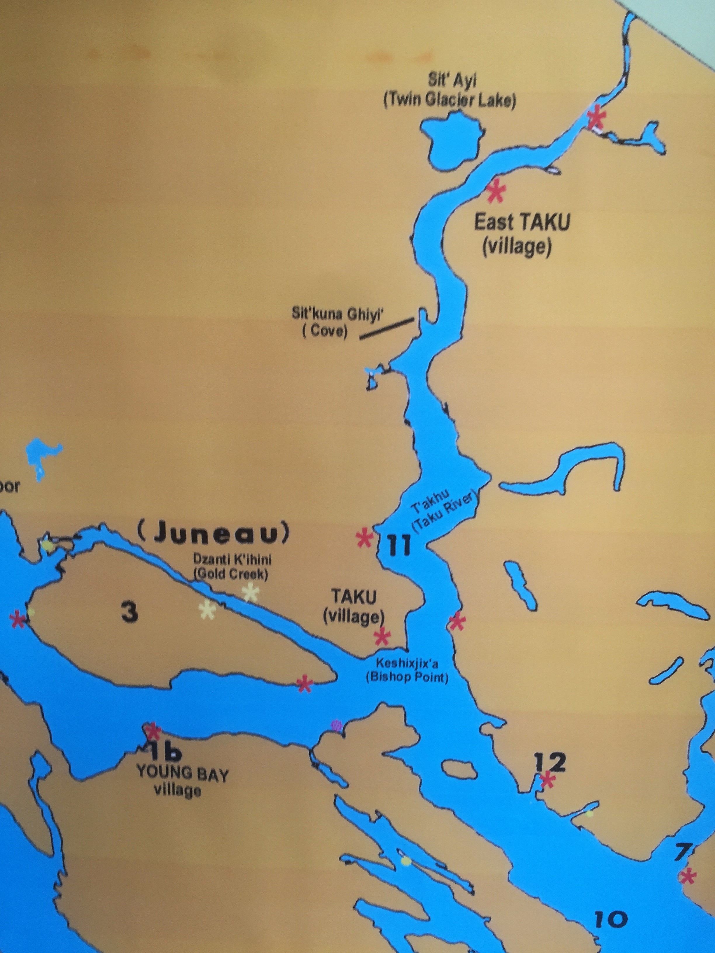
Traditional T’aaḵu Kwáan territory in Alaska is shown in this map posted for the tour. It continues into British Columbia and the Yukon.
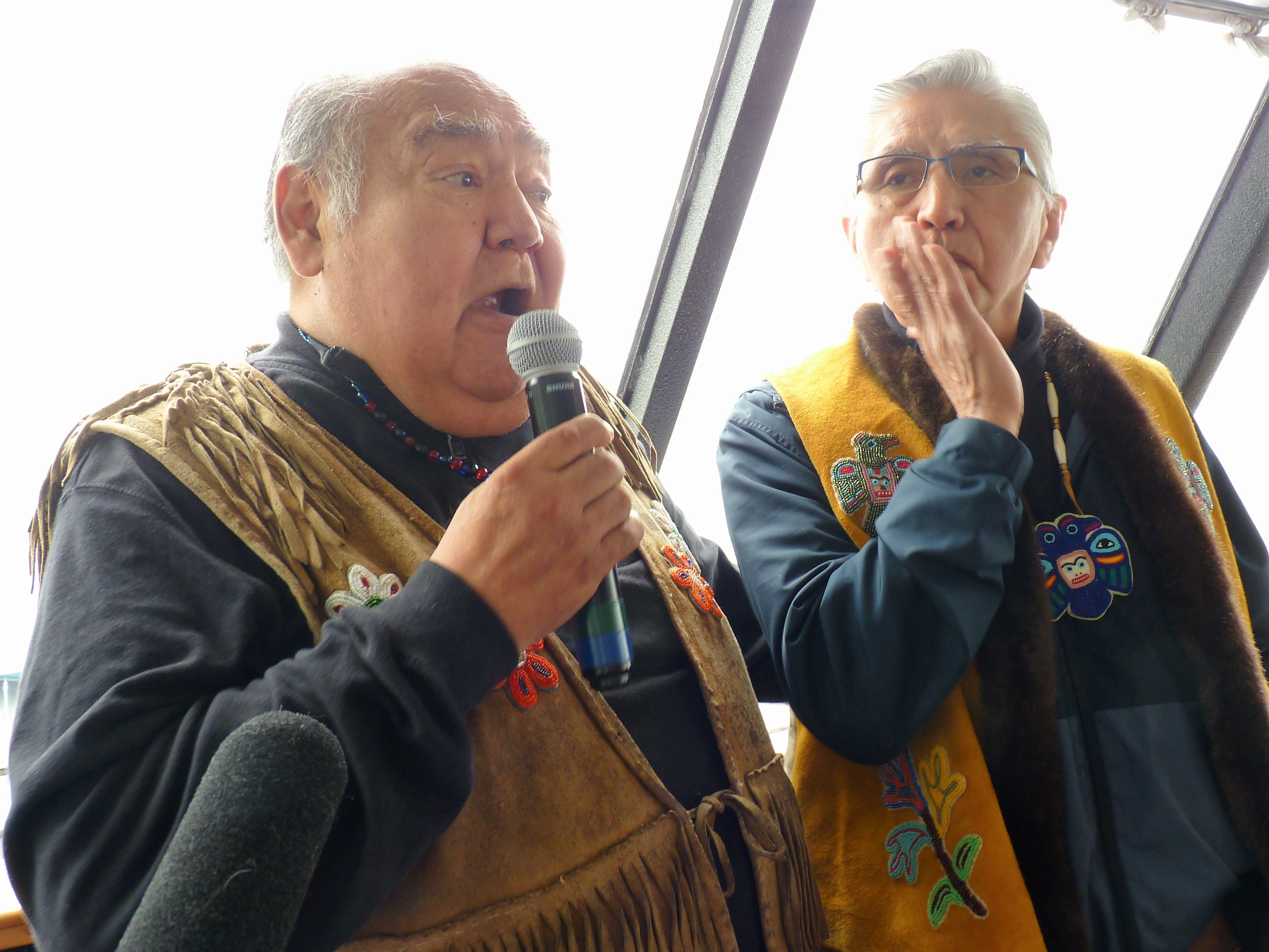
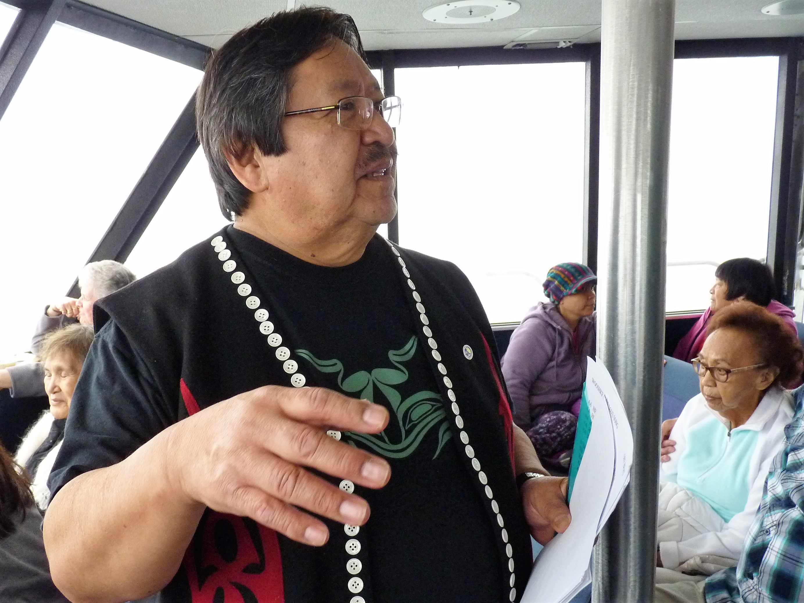
Paul Marks. right, and David Katzeek speak in Tlingit and English during a recent tour of traditional T’aaḵu Kwáan lands. (Photo by Ed Schoenfeld/CoastAlaska News)
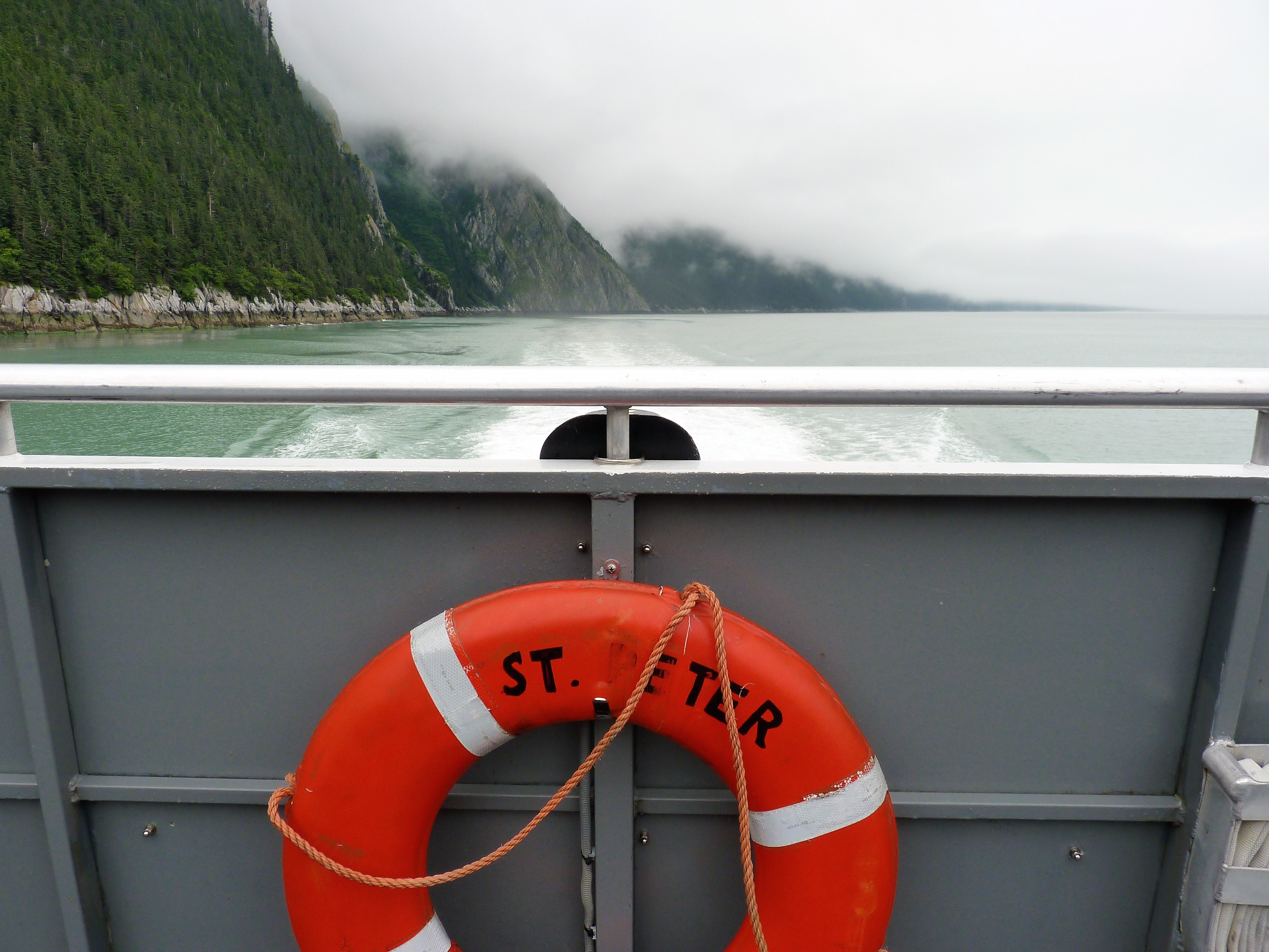
The Allen Marine catamaran St. Peter carried more than 100 tribal members and officials, plus government staffers and media members, on the Taku territory tour. (Photo by Ed Schoenfeld/CoastAlaska News)
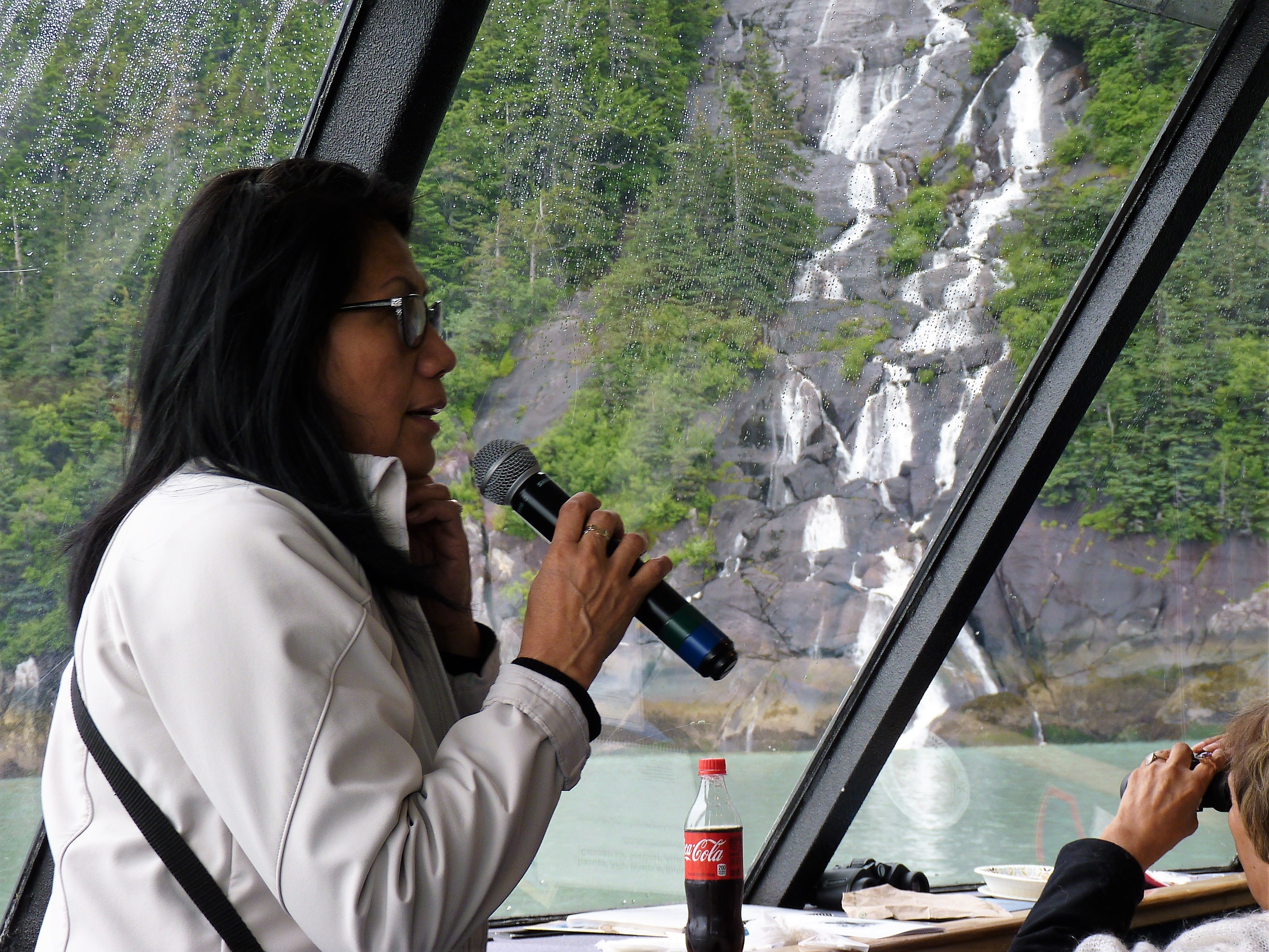
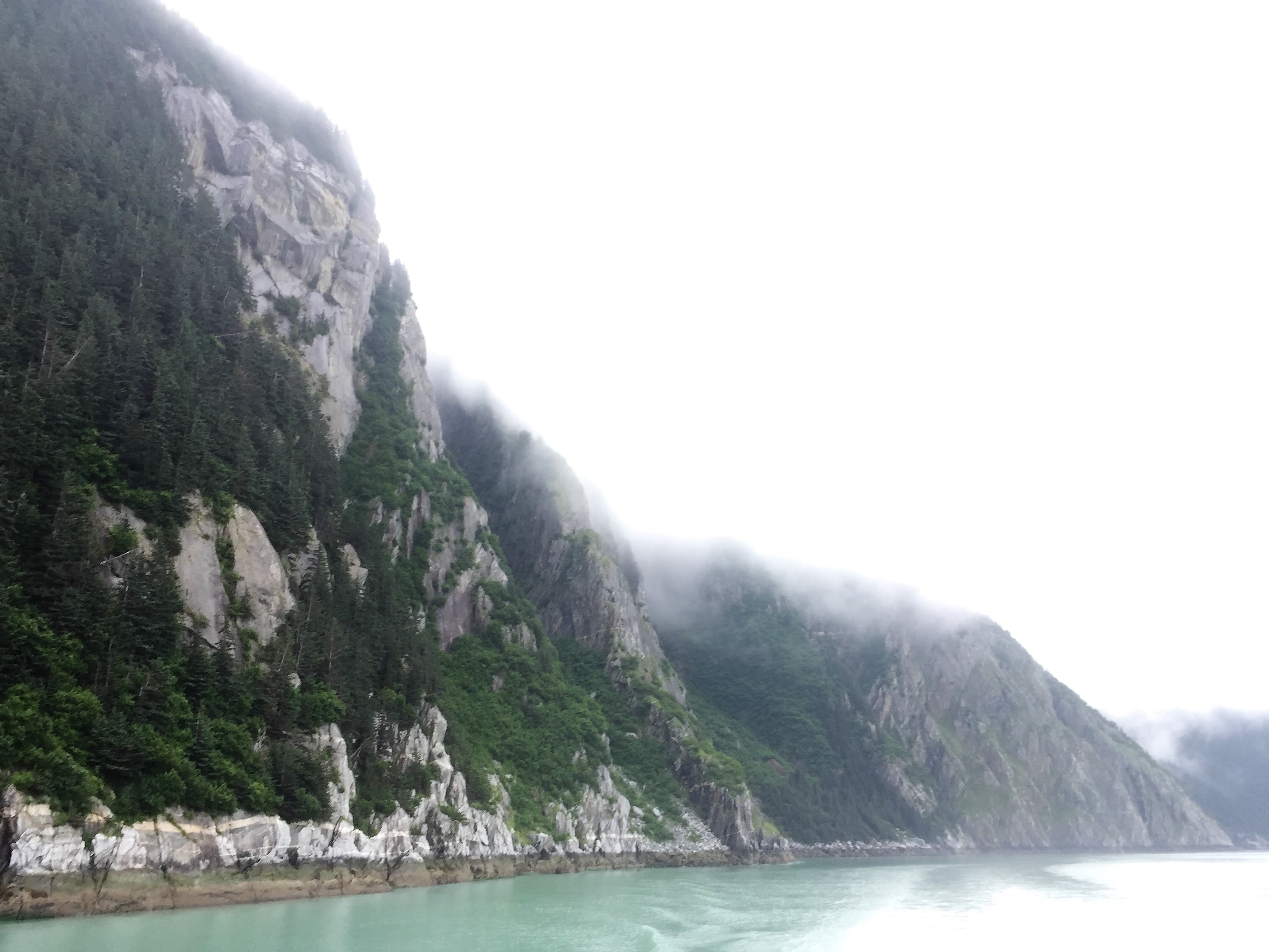
Clouds and mist cover mountaintops in Taku Inlet. (Photo by Ed Schoenfeld, CoastAlaska News)
Elder Margaret Dutson speaks during the Taku territory tour. (Photo by Ed Schoenfeld/CoastAlaska News)
Flowers were left in Taku Inlet in memory of those who have passed on.
Andy Ebona speaks between songs during the Douglas Indian Association tour of traditional T’aaḵu Kwáan territory. (Photo by Ed Schoenfeld/CoastAlaska News)
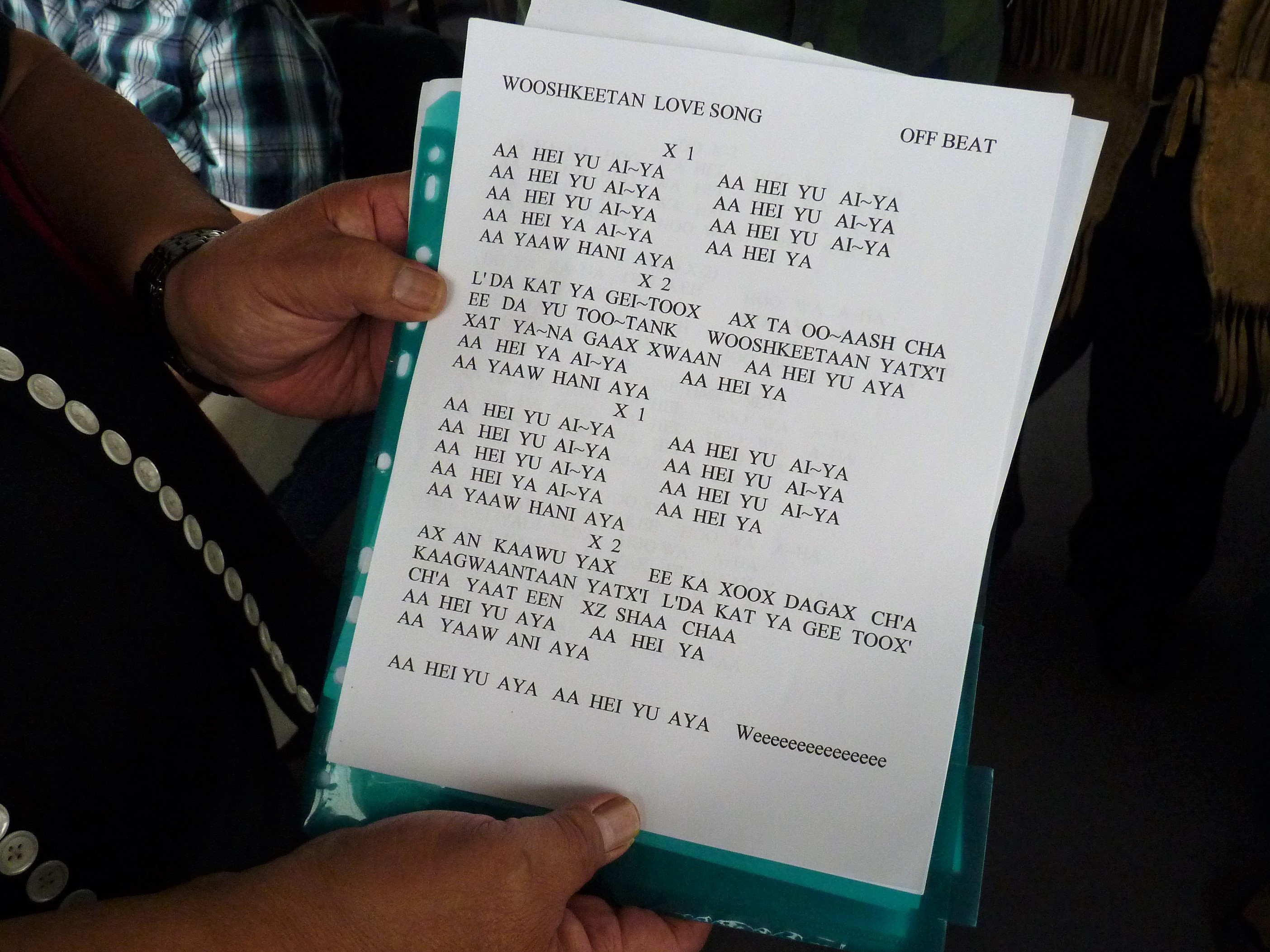
Lyrics to the Wooshkeetaan Love Song.
Norman Sarabia, right, addresses the group during the Taku territory tour. (Photo by Ed Schoenfeld/CoastAlaska News)
An old cannery still stands in Taku Harbor. The area was home to a T’aaḵu Kwáan village. (Photo by Ed Schoenfeld/CoastAlaska News)
Children play on the back deck of the catamaran St. Peter during the tour of T’aaḵu Kwáan territory. (Photo by Ed Schoenfeld/CoastAlaska News)
It’s important to know where you come from. But when others make assumptions that are wrong, it’s hard to maintain your identity.
A Southeast Alaska Tlingit tribal government is letting its neighbors know its members come from a vast territory that still bears their names.
The tour boat St. Peter sails around Douglas Island, which is part of Juneau, headed to nearby Taku Inlet.
On board are local and state government officials and members of the Douglas Indian Association, which represents the T’aaḵu Kwáan, the area’s original residents.
At the front of the boat, elders Paul Marks and David Katzeek explain where they are, in Tlingit and English.
“You’re hearing the words and the voices of those who have gone before us on these waters. … And this is how we know today, and we’ve known for thousands of years, that this land belongs to us,” Katzeek translated.
The Douglas Indian Association organized the July 28, 2017, tour of traditional T’aaḵu Kwáan territory. (Photo by Ed Schoenfeld/CoastAlaska News)
Traditional T’aaḵu Kwáan territory includes the southeast part of Juneau, Taku Inlet, a smaller cove called Taku Harbor and up the Taku River into Canada.
Tribal members, some known as Inland Tlingits, also live in Atlin, British Columbia, almost 80 miles to the north, and Teslin, Yukon Territory, about 60 miles farther.
The association also includes some members of the A’akw Kwáan, whose traditional territory is to the north and west.
Westerners began exploring the area in the late 1800s, and built mines and cities. Taku people lived nearby, but weren’t treated as the original property owners.
They were shut out of traditional lands.
A Tlingit cemetery was later knocked down and paved, to make room for a road and a school. Later, local government burned down their village to build a boat harbor.
Tribal government administrator Andrea Cadiente-Laiti said colonization, disease, limits on fishing and other factors decimated the population.
“We lost everything that was precious to other … federally recognized tribes and that’s land, fishing rights, community, all the way down to sacred sites,” she said.
Some of that’s finally being addressed.
The Douglas Indian Association and Juneau’s Goldbelt Heritage Foundation are working with government officials to recognize and remember the area’s first peoples.
One totem has been carved and raised at the site of Douglas’ Gastineau School. A second pole and memorial are in the works.
University of Alaska Southeast anthropology professor Dan Monteith told the group that it’s important to reconcile, but never forget.
Douglas Indian Association Administrator Andrea Cadiente-Laiti speaks during a Taku Inlet stop. (Photo by Ed Schoenfeld/CoastAlaska News)
“Hopefully we can make this history a part of the history here that’s no longer repressed, no longer brushed over, no longer ignored,” he said.
The boat motors past Point Arden, where an inlet, a channel and a passage meet.
Katzeek said the competing currents weave the waters, giving them their Tlingit title.
“The name is Kanaasnoo. Everybody say, Kanaasnoo. That is a powerful, powerful word. When you look into hydrology, if there’s any kind of contamination going, this is the place where it would be mixing and it would be sending it out to the other places,” he said.
The Taku people are particularly worried about pollution from the long-closed Tulsequah Chief Mine, across the border in Canada. Acidic water drains from abandoned tunnels into the mine’s namesake river.
Some studies have shown it does not damage fisheries as it flows into the Taku River, but a recent British Columbia report points to unsafe pollutant levels in some areas.
The Indian association’s John Morris said it’s an issue for all the region’s tribes.
“The Taku, the Stikine, the Unuk, the Alsek, the Chilkoot,” he said. “All of our rivers are being threatened by these mining operations that are being proposed in British Columbia.”
Entering Taku Inlet, the boat stops at a steep cliff face for a memorial, and off a cove, for another. There, and in a harbor to the south, speakers point out where the T’aaḵu Kwáan once lived.
An old cannery still stands in Taku Harbor, south of Juneau. The area was home to a T’aaḵu Kwáan village. (Photo by Ed Schoenfeld/CoastAlaska News)
Michael Kell, a historical archaeologist for the state, gestures toward an old cannery and the site of a long-abandoned fort. It’s where the area’s Tlingits established one of their many communities.
“We know for a fact that there are summer and winter camps and these camps indicate that people were here and using the land,” he said. “That’s the important recognition here, is that the culture has been here and the culture’s still here.”
Old village sites are hard to spot, since most Taku people moved to town decades ago.
Tribal administrator Cadiente-Laiti said many are not part of the Douglas Indian Association. Leaders would like them to join.
“Part of the challenge is to have other government agencies, the powers that be that dictate where and when and how much funding comes to the tribe based on its membership, that it’s not just the tribal member numbers, it’s the area that was traditionally and historically the tribe’s,” she said.
She said more members would increase government grants that fund economic development, environmental protection and youth education.
Hear David Katzeek tell the Tlingit story of two giants, or mountains, by T’aaḵu Kwáan elder Elizabeth Nyman:
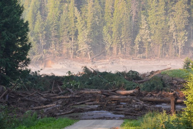
Muddy water from the breached Mount Polley Mine tailings pond dam floods a downstream creek and road Aug. 4, 2014. Fishing and environmental groups say the same could happen at new B.C. mines near the Southeast border. (Photo by Cariboo Regional District Emergency Operations Centre)
Critics in Southeast Alaska say the lack of enforcement action increases their concerns about similar mines near salmon-rich transboundary rivers, which begin in British Columbia and flow through Southeast.
Mount Polley’s tailings dam broke Aug. 4, 2014, sending millions of gallons of silt and water into nearby creeks and rivers.
The three-year statute of limitations for filing charges is over and the province said it is taking no legal action.
The central B.C. mine is owned by Imperial Metals, which also owns the Red Chris Mine in the Stikine River watershed.
Southeast Alaska Conservation Council Mining Coordinator Guy Archibald said he’s very disappointed.
“The Mount Polley investigation found that the contractors were not following the plan of operation for maintaining the tailings dam and that contributed to its failure,” he said. “Why nobody’s being held responsible for this is very surprising.”
B.C. environmental officials issued a statement Aug. 1 calling the dam collapse, “one of the worst environmental disasters in our province’s history.”
Environment Minister George Heyman said the investigation is not over.
He promised provincial officials would work with Canada’s federal government to complete their inquiry.
Archibald said he doesn’t expect federal charges to be filed, either.
“Since the Mount Polley investigation, we’ve seen mines moving forward with the same failed technology as in the case of Mount Polley,” he said. “Mines continue to be permitted and existing water-tailings structures are still on the books. Nothing has really changed on the ground from business as usual in the last three years.”
Industry and prior British Columbia representatives have pointed to improvements in tailings-dam design and construction, saying they’re safe.
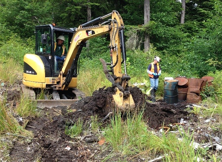
A backhoe digs up part of the old Byford Junkyard in Wrangell in 2014. After removing old cars, oil drums and other trash, the state is treating and moving contaminated soil to a rock quarry south of town. (Photo courtesy Department of Environmental Conservation)
The U.S. Forest Service could put the brakes on a state plan to store contaminated soil near a Wrangell recreation area.
The Department of Environmental Conservation plans to truck almost 20,000 cubic yards of lead-laced soil to a rock quarry near the Pat’s Creek area, south of town, as part of a multi-million-dollar effort to clean up an old junkyard.
Officials say the soil has been treated with a phosphate-based product called EcoBond, so the lead won’t leach into soil or waterways.
The trucks carrying the soil will have to use a Forest Service road, which requires a permit.
Tongass National Forest spokesman Paul Robbins Jr. said that could take a while.
“The Tongass National Forest will not issue a road authorization before a NEPA process is completed and we’ve received substantial public involvement,” he said.
NEPA, or the National Environmental Policy Act, requires federal agencies to assess the effects of resource development and other actions on federal property.
The process can take six months to two years.
State officials originally scheduled the work to begin July 31. Earlier this week, they said they hoped to begin later this month.
The soil-storage plan has been controversial, with residents questioning its safety and limited public comment opportunities.
The Department of Environmental Conservation plans a public workshop Aug. 21 and an Aug. 22 meeting with the Wrangell Borough Assembly on. Further details will be announced later.
Officials say the soil needs to be moved because it threatens the marine environment.
Close
Update notification options
Subscribe to notifications
Subscribe
Get notifications about news related to the topics you care about. You can unsubscribe anytime.