Climate Change

NASA keeps watch of shrinking Arctic ice

The future of monitoring Arctic ice begins in space.

NASA scientist Thomas Wagner said to think of the IceSat-2 like a giant laser pointer.

Rather than entertaining your cat, these lasers can measure the height of ice above the water. A total of six of them will be beamed down to Earth.

“The point being that we’re going to get our most accurate maps ever of the thickness of the Arctic sea ice,” Wagner said. “And that’s one of the most important things that we put into our models.”

Those models could influence conservation and planning decisions in the Arctic, Wagner said.

NASA launched a prototype of IceSat in the early 2000s, but it was decommissioned in 2010.

This new and improved satellite — along with additional measurements collected by NASA — will help determine what the future could look like in the Arctic.

And it’s happening at an important time.

“A lot of ice experts, including myself, thought we were headed for a record year minimum,” said Hajo Eicken, a professor at the International Arctic Research Center at the University of Alaska Fairbanks.

Arctic sea ice is important because it acts like a giant air conditioner for our planet, he said.

This year, a combination of events, such as a major ice retreat near Russia, left scientists wondering if the summer would beat a previous low. The last recorded minimum in the Arctic was in 2012.

But wind patterns offset the loss of sea ice and things cooled down a little.

“So now it looks like we’ll have well below normal ice extent, but we won’t have that record minimum,” Eicken said.

Still, Eicken said scientists are trying to figure out how the blob — a large pool of warm water in the Pacific Ocean — could be affecting the Arctic.

Sunlight is the most effective way to melt ice.

“However, the heat that comes up from below, some of it actually survives the winter,” Eicken said. “So in part, what we’re seeing now is that we have years where some of the heat that’s put into the ocean, upper ocean, from the sun and the atmosphere in the summer survives well into the winter.”

That could mean melt episodes even in the colder months.

Eicken is excited about the NASA satellite, which can help document these changes.

Even though what it finds might appear alarming, Wagner said people should be concerned, not afraid.

Look, I have kids, too, and I’m not hopeless at all,” Wagner said. “All the time I see things that are going on in society that make me think that we are generating the social will to deal with this. And I think we’re getting a better handle on the challenges that we face today, and I think we are going to be able to deal with them.”

IceSat-2 is set to launch in 2018.
Is the Arctic ready for the Crystal Serenity?

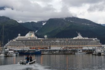
The Crystal Serenity is the largest passenger ship to traverse the Northwest Passage, traveling from Seward to New York City. Photo: Rachel Waldholz, Alaska’s Energy Desk
The Crystal Serenity is the largest passenger ship to traverse the Northwest Passage, traveling from Seward to New York City. (Photo by Rachel Waldholz/ Alaska’s Energy Desk)

The luxury liner Crystal Serenity is on its way from Seward to New York City through the Northwest Passage.

It’s the largest cruise ship to navigate the route, which hugs the coasts of Alaska, Canada and Greenland. And it’s attracted international attention, with many wondering if it’s a sign of what’s to come as the Arctic sees increasingly ice-free summers.

The ship has 13 decks, eight restaurants, a casino, and a spa. Staterooms for this trip started at about $20,000 and run as high as $120,000 (with personal butler service).

Sitting in her room, with a deck looking out over the Seward harbor, passenger Moira Somers said for most of the people on board, the ship is as much a destination as the Arctic.

“When you start your cruise, no matter where in the world you are, and you see the ship, it’s goosebump stuff,” she said.

Somers and her husband live in Victoria, B.C. (she’s originally from Namibia). Like the majority of people on board, they’re repeat cruisers – she says this is perhaps her 16th trip with Crystal.

But this time is a little bit different.

“Maybe we’re not so sure what we’re letting ourselves in for?” she said, with a laugh. “But there’s so much, we’ve read so much, we’ve prepared ourselves, and we know it’s a big thing.”

Until about a decade ago, the Northwest Passage was only open to ships with icebreaking capabilities. And while smaller cruise ships have visited the region for years, the Crystal Serenity, with more than 1600 guests and crew, will become the largest passenger ship to traverse the full, winding route across the top of Canada.

It’s a dry run for large-scale tourism in a region that hasn’t seen anything like it before.

But the man in charge is not concerned.

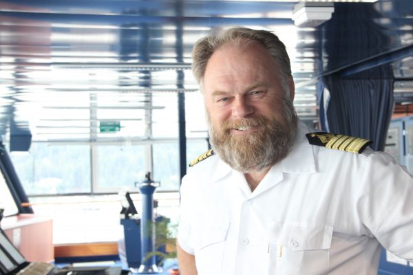
Captain Birger Vorland of the Crystal Serenity has spent 38 years at sea. “Nobody has ever planned a cruise as diligently and as detailed as Crystal Cruises has done for this particular voyage,” he said. Photo: Rachel Waldholz, Alaska’s Energy Desk
Captain Birger Vorland of the Crystal Serenity has spent 38 years at sea. “Nobody has ever planned a cruise as diligently and as detailed as Crystal Cruises has done for this particular voyage,” he said. (Photo by Rachel Waldholz/ Alaska’s Energy Desk)

Birgir Vorland, the master of the Crystal Serenity, has spent 38 years at sea. Originally from Norway, he says the Northwest Passage has special resonance.

“My countryman Roald Amundsen did the first transit here, between 1903 and 1906,” Vorland said. “He spent three years on this passage. We’re going to do it in 32 days and a lot more comfort.”

Crystal Cruises has spent more than three years planning the trip. Standing on the navigation bridge, Vorland ticked off the special preparations: systems to detect ice, two Canadian ice pilots joining him in Nome, an escort ship in case he runs into trouble.

“We have crossed all the t’s, dotted all the i’s,” he said. “Nobody has ever planned a cruise as diligently and as detailed as Crystal Cruises has done for this particular voyage.”

As the ship prepared to leave Seward, passengers participated in an emergency drill. In the casino, guests wearing life jackets gathered around staff holding signs that read, “Life Boat 6.”

Passengers took part in an emergency drill before the Crystal Serenity left Seward. Photo: Rachel Waldholz, Alaska’s Energy Desk
Passengers took part in an emergency drill before the Crystal Serenity left Seward. (Photo by Rachel Waldholz/ Alaska’s Energy Desk)

Despite Vorland’s assurances, plenty of people are worried about what happens if this scenario plays out in real life.

“There’s absolutely no capacity to respond to accidents,” said Elena Agarkova, who tracks shipping for the World Wildlife Fund, a conservation group.

There’s very little search and rescue infrastructure in the region, a major concern for authorities. On August 24th, just as the Crystal Serenity passes through the region, the Coast Guard, U.S. military and Canadian forces will stage a major training exercise in the Bering Strait. Called Arctic Chinook, it will simulate the response to a cruise ship going down with 250 people on board.

The question isn’t just whether the Crystal Serenity is ready for the Arctic, but if the Arctic ready for the Crystal Serenity. Some of the communities it’s visiting in Canada have populations smaller than the ship itself.

Agarkova said Crystal Cruises has done a good job of working with communities and addressing environmental concerns, with plans to forgo heavy fuel oil and exceed standards for discharging wastewater. But, she said, there’s no guarantee those precautions will be taken in the future.

“They’re doing these measures voluntarily,” she said. “So there’s nothing that would require cruise lines or cruise ships that would follow in their steps to adhere to the same kinds of standards.”

Agarkova also pointed out the irony of this new era — when the very changes making the region accessible are also transforming it.

That’s not lost on passenger Moira Somers.

“One kind of feels – I won’t say guilty, but you’re taking advantage of what is happening,” Somers said, adding that she hopes the cruise is raising awareness of climate change.

As for her more immediate goals? “My big dream is to see a polar bear,” she said.

After a moment she added, with a laugh, “And just being able to have a successful trip, I think. Getting through with no hiccups.”


Threatened by rising seas, an Alaskan village decides to relocate

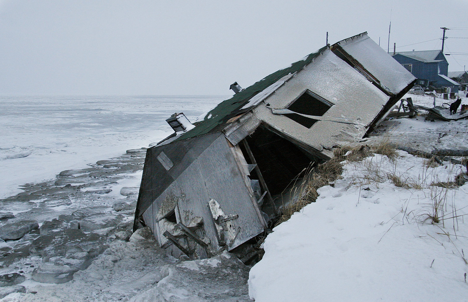
An abandoned house at the west end of Shishmaref, Alaska, sits on the beach after sliding off during a fall storm in 2005. (Photo by Diana Haecker/Associated Press)

Rising sea levels have eroded an Inupiat Eskimo village for decades. Now, residents of Shishmaref, Alaska have officially voted to relocate.

The island community, located near the Bering Strait, opted to move rather than remain in place with added safety measures to protect against the rising waters. The city clerk’s office told NPR that 94 votes favored relocating and 78 votes wanted to protect in place.

Now, according to the clerk’s office, the city council will meet to discuss the options for where to relocate. A recent feasibility study assessed four possible sites, and the clerk says those options have been narrowed down to two.

Esau Sinnok, an Arctic Youth ambassador from Shishmaref, wrote in a recent blog post that the community has “lost 2,500 to 3,000 feet of land to coastal erosion” over the past 35 years. He said his family has moved 13 houses in 15 years, “from one end of the island to the other because of this loss of land.”

On All Things Considered, Sinnok explained that he supports relocating the village “so we’ll have a community called Shishmaref for future generations.” Here’s more:

“Shishmaref will be underwater within the next three decades, and if we do not do anything, we’ll be forced to move to another city like Nome or Kotzebue or Fairbanks or Anchorage, and not many people will move to the same place. So that means our unique community of Shishmaref will soon die out because we have our unique dialect of Inupiat Eskimo language, our unique Eskimo dancing, our unique gospel singing translated in Inubiat. All that will soon die out if we do not move as a community.”

It’s a community that relies on hunting and fishing, he said. “A majority of our diet comes from the land and the sea. We hunt for caribou, moose, musk ox, bearded seal, walrus and gather traditional berries like the cloud berry, blueberries, blackberries.”

Tribal coordinator Jane Stevenson recently told The Associated Press that “she is leaning toward remaining at the current site because it’s closer to subsistence foods such as fish seal and walrus that people rely on for much of their diet.”

Sinnock said that some of those who want to stay belong to an older generation, who say “they want to stay in place because they’ve lived there all their lives and that’s where their parents and grandparents grew up too.”

The town’s mayor, Howard Weyiouanna, also argued that staying at the current location would be the most cost-effective, according to the AP. As the wire service reported, “either scenario selected in the Aug. 16 vote would cost millions – money the community of nearly 600 doesn’t have.”

Shishmaref is one of at least 31 Alaska Native villages where erosion due to climate change poses an imminent threat, according to a 2009 report from the Government Accountability Office. Twelve of those villages were exploring relocation options.

According to the Thomson Reuters Foundation, “scientists attribute coastal erosion in Shishmaref to global warming that has thawed sea ice that once shielded the island from storm surges.” It added that the village’s “permafrost, the layer of permanently frozen soil on which it is built, is melting as well.”

This is not the first time the community has voted on whether to relocate – Shishmaref voters decided to relocate in a 2002 poll, but that never happened due to a lack of resources. But Sinnock told NPR that he thinks such a decision would be handled differently now:

“I think that we learned a lot more than we did 14 years ago. I think the momentum we have now will lead to finding the available resources, and I really hope that this story, our story, goes out to the federal government, like to President Barack Obama, so that they can really know what effects of climate change are in Alaska.”

He added: “It’s crazy to know that your only home will soon be underwater if the federal government doesn’t do anything to help you out.”

Copyright 2016 NPR. To see more, visit http://www.npr.org/.

As wildfires blaze, Southeast glaciers could be feeling the melt

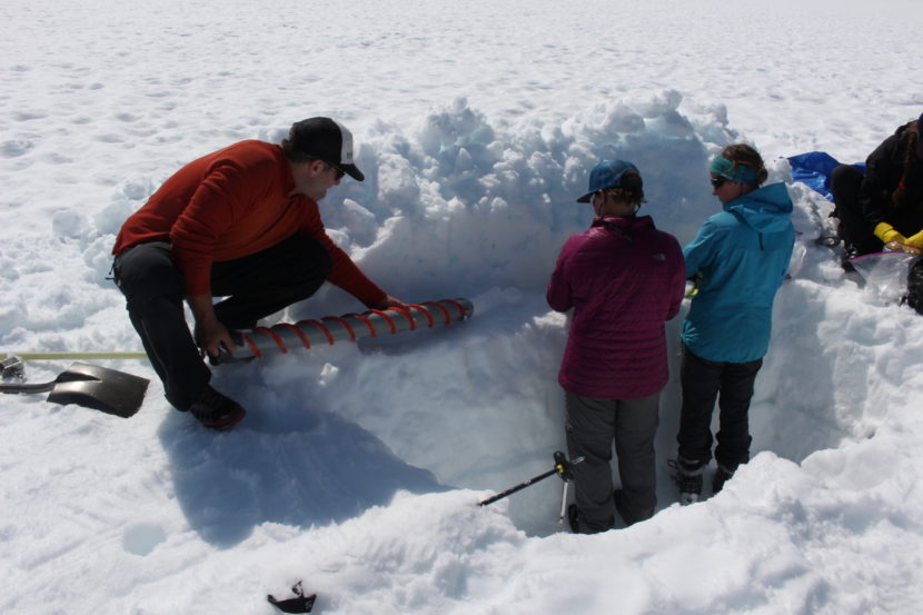
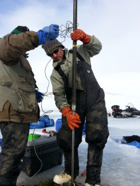
Shad O'Neel releases an ice core onto a work station. (Photo by Elizabeth Jenkins/KTOO)
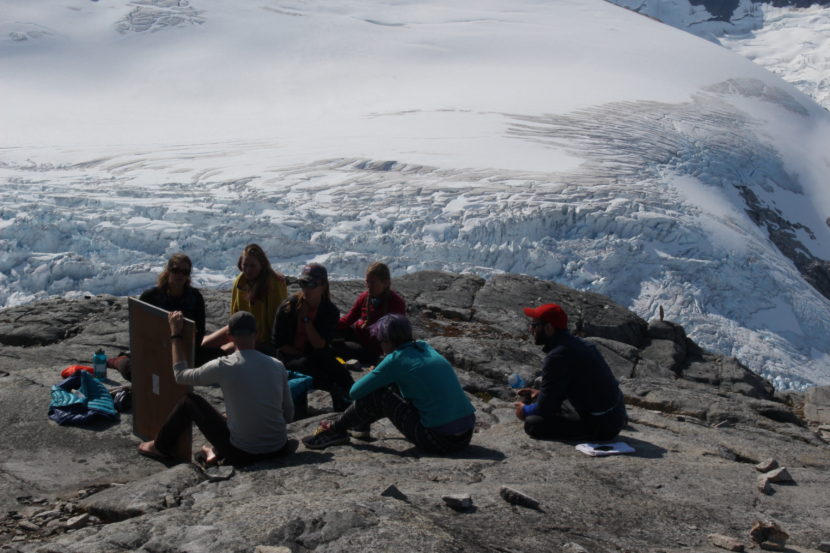
Shad O’Neel releases an ice core onto a make-shift “work station,” during scientific research on the Juneau ice field. (Photo by Elizabeth Jenkins/KTOO)

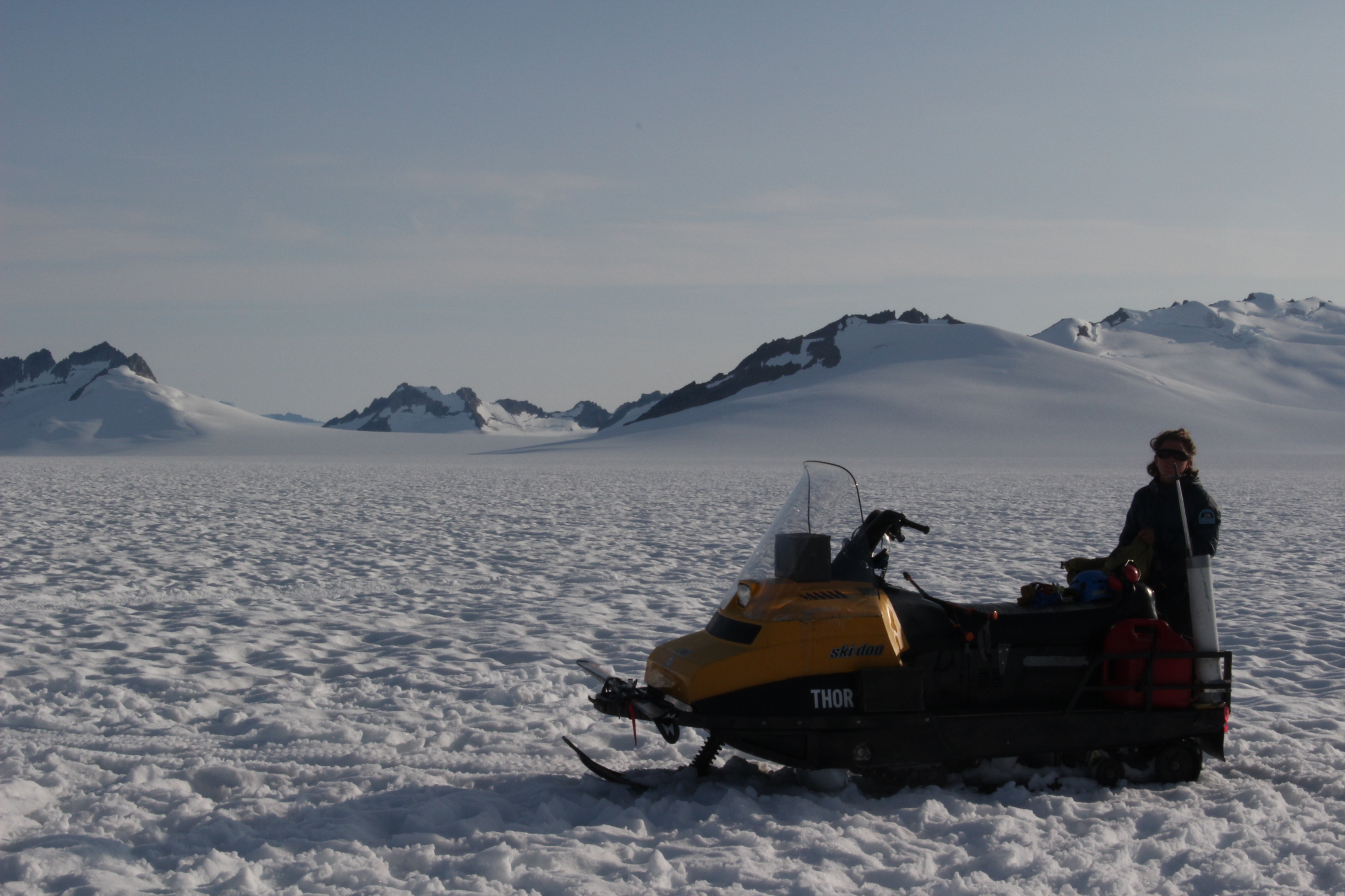
Out on the glimmering white expanse of the Juneau ice field, a group of students and scientists work an assembly line of sorts.

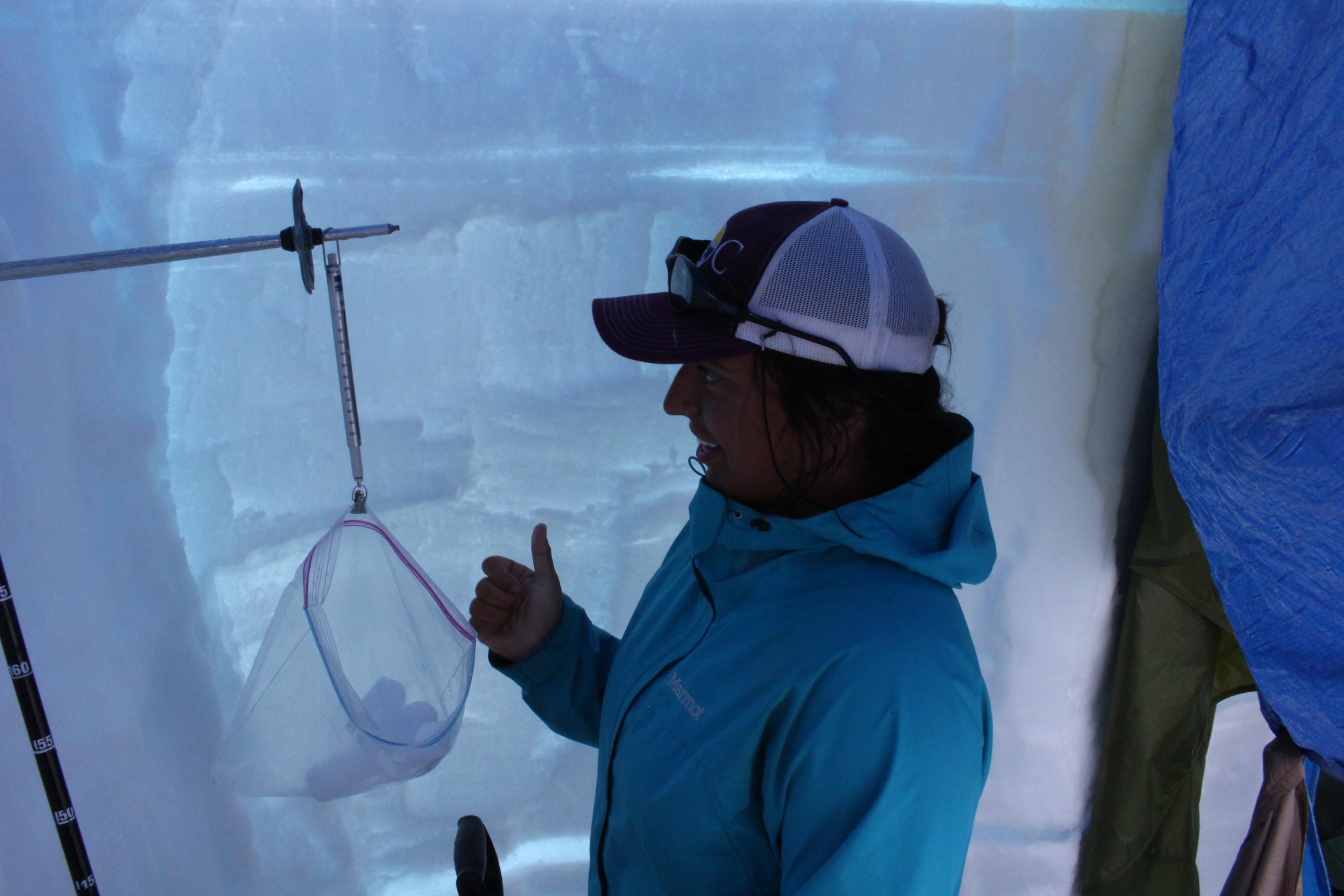
It begins with Shad O’Neel, a glaciologist with the United States Geological Survey, who twists a metal tube into the snow and ice to take a core sample.

So you spin it down, it drills its way in, you turn it backwards, catch the snow, you pull it out and hope there’s something inside,” he said.

Scientists are wondering whether the carbon released from interior fires is traveling all the way to Juneau — potentially speeding up glacial melt.

Wildfires are increasing in Alaska, a trend which has largely been attributed to climate change, e.g. less snow cover can mean a longer wildfire season.

The Southeast part of the state typically doesn’t have to worry about fires. It’s a rainforest afterall, but smoke can travel.

Glaciers will document that journey and more, said Natalie Kehrwald, a USGS research geologist from Colorado.

“So it will tell you if it was colder, it will tell you if it was windier, if there was a lot of pollution during that time,” she said.

And it will  reveal whether carbon from wildfires winds up on the ice.

“The glacier surface itself is basically layer upon layer of those snapshots in time,” she said.

Kehrwald wonders whether an increase in interior wildfires is spreading fine amounts of carbon on the Juneau ice field — which could accelerate glacial melt.

That phenomenon has been documented on the ice in Greenland, she said, after smoke from wildfires in Western Canada swept across North America.

Kehrwald leads the team on the ice field to collect the coring samples to see if the same thing is happening in Juneau.

Shad O’Neel pulls up the metal tube:

“So, we’ll just sort of jiggle it a little bit and it get it to come out,” O’Neel said.

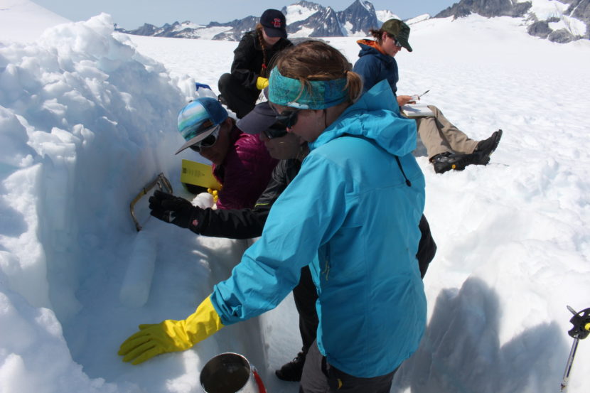
Natalie Kehrwald leads a group of Juneau Icefield Program students on how to saw an ice core. (Photo by Elizabeth Jenkins/KTOO)
Natalie Kehrwald leads a group of Juneau Icefield Research Program students on how to saw an ice core. (Photo by Elizabeth Jenkins/KTOO)

He releases a nearly perfect cylinder of snow and ice that’s a couple feet long.

From there, a group of students from the Juneau Icefield Research Program slice it into sections, weigh it and eventually smash it to pieces with a mallet.

They will write down what section the sample belongs to, the deepest part being the oldest. The melted pieces will be sent to Dartmouth College, South Dakota State University and the USGS in Colorado, among other places, to test what the temperature was when the snow fell and what traces of fire could be in the ice.

Sarah Fortner will take some of the samples back to Wittenberg University, where she teaches geology. In the science community, the trickle down consequences of climate change is on everyone’s mind, she said. Ice cores from glaciers around the world have been telling a sad story.

“That’s one of the ways that we know that climate change is happening and that it’s related to our greenhouse gas productions,” Fortner said. “Because ice cores have preserved that record of increased greenhouse gasses all around the world.”

Scientists hope to determine if fire is affecting Juneau’s ice later this year.

Why students and scientists spend summer on ice

Every year, dozens of 20-somethings forego a summer break to live on the Juneau ice field. They slog heavy packs and ski to camps — miles away from the closest cell phone signal or Wi-Fi hotspot. The Juneau Icefield Research Program has been around for 70 years. First, exploring the icy expanse. And later, tracking the rate Southeast glaciers are shrinking.

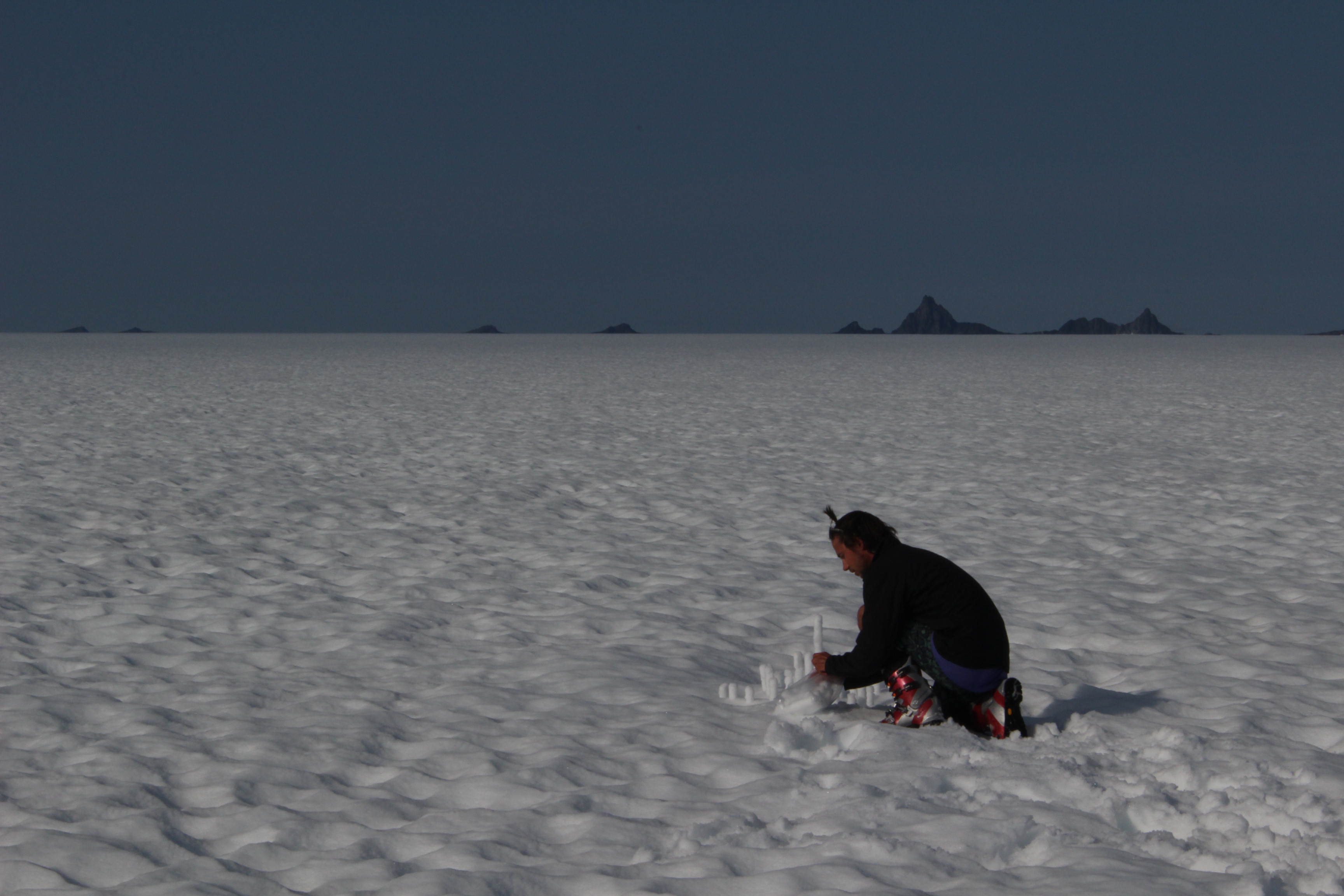
If you squint, you might think you’re in the desert. Flat, white terrain stretches out as far as the eye can see and rocky peaks dot the horizon. The people, too, appear to be dressed for warm weather. Most are wearing running shorts and t-shirts. Their eyes hidden behind sunglasses to block the glare from snow.

Olivia Truax — a recent graduate from Amherst College — says she can’t imagine her peers would be up for the Juneau ice field.

“Probably not,” she said. “One of my friends was dropping me off at the airport and she was like, ‘you’re off to spend your summer on the ice doing science and skiing and digging. That sounds like my personal hell. Have fun!’”

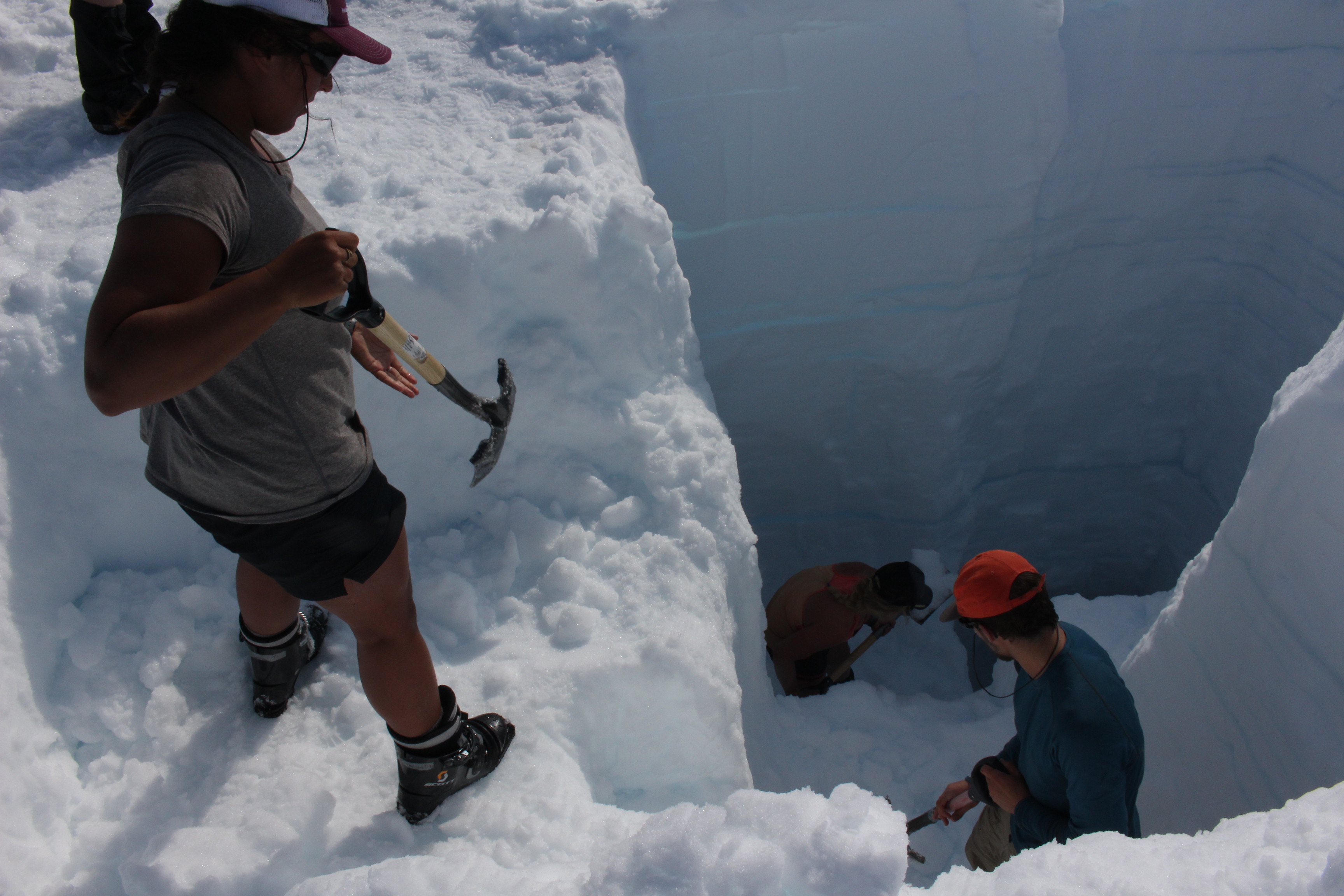
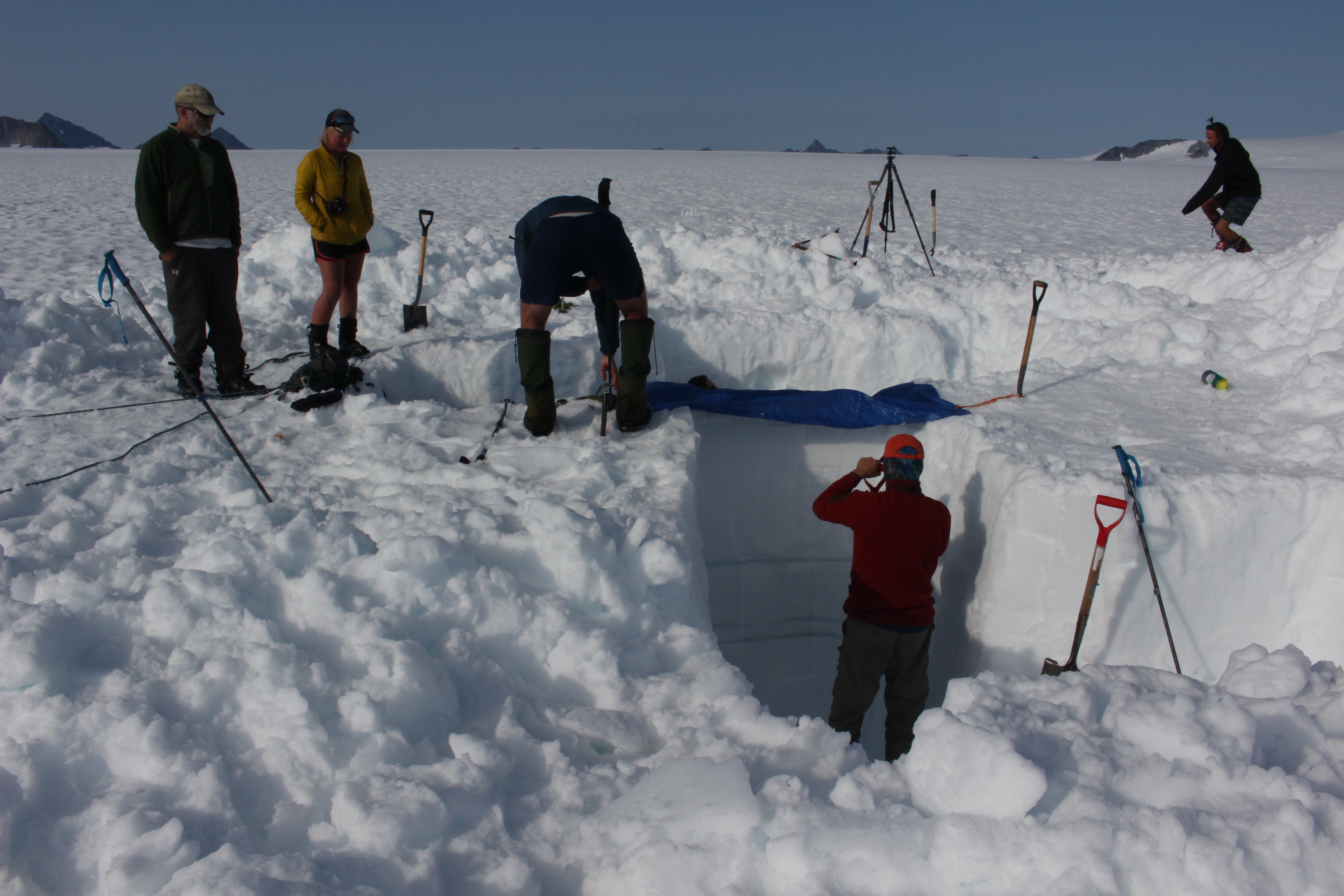
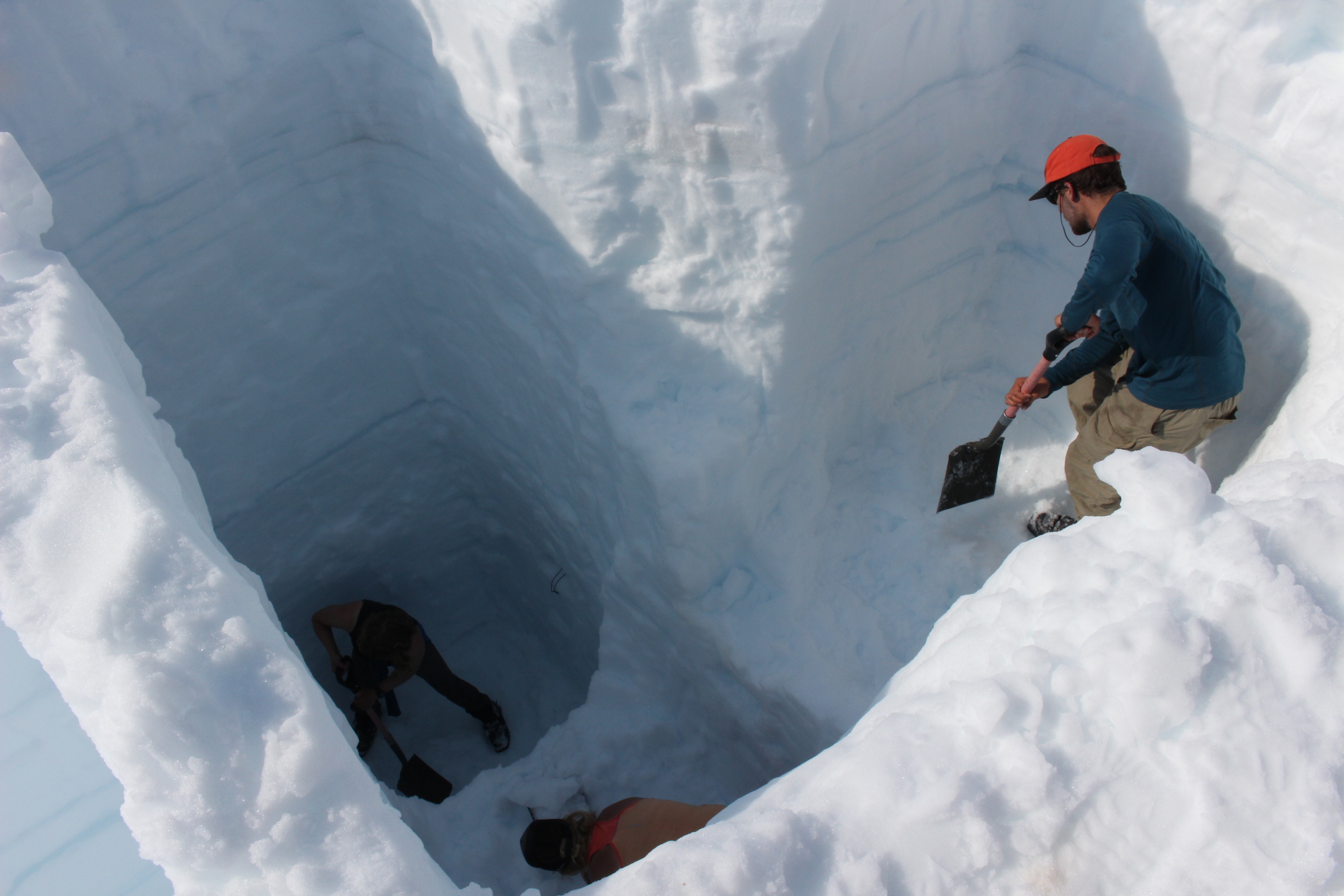
But Truax and the others are clearly having a good time. They’re digging a hole in the snow that’s so deep they had to develop a special strategy. Rather than dropping straight down, the pit resembles a Tetris piece. And working together, each person shovels the snow and ice onto the next platform. This isn’t boot camp. This is science.

By the end of the day, they’ll reach last year’s snow surface which will allow them to measure how much snow is above it and determine how much the ice field is gaining or losing.

“With some fancy math and weather data, we can figure out how much snow can be left,” said Annika Ord, a Southeast resident who’s on safety staff.

The program has the oldest mass balance record in North America. A record of how the Juneau icefield — which feeds more than 30 major glaciers — is changing.

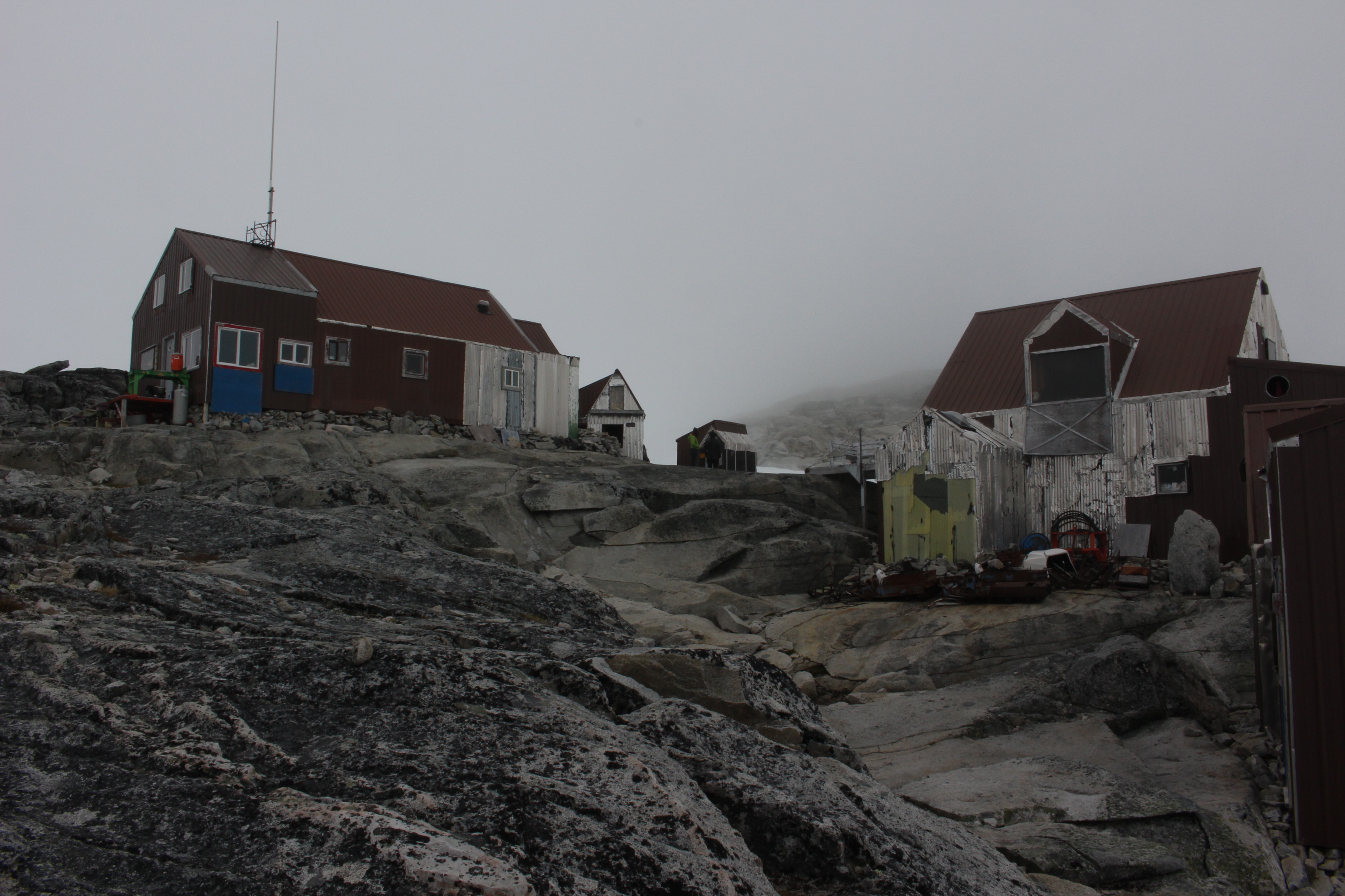
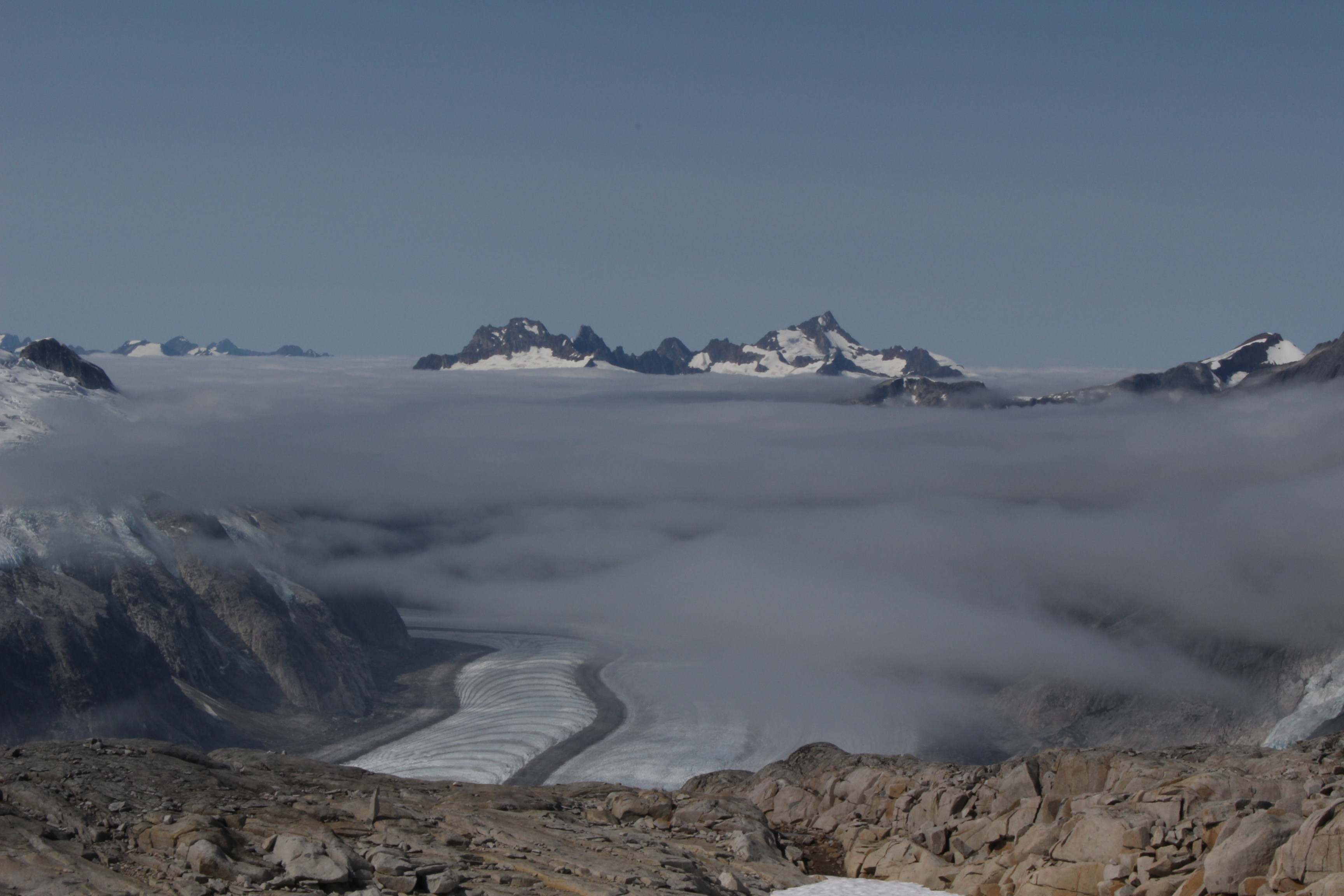
Miles away from the snow pit is Camp 18. It’s a rustic collection of bunkhouses where students and scientists live during their stay. And it feels like it’s on the top of the world. On a clear day, you can see where glaciers meet and flow down the valley.

Like Olivia Truax, you would expect most of the people who attend this program to describe themselves as “outdoorsy” but not Joel Gonzalez-Santiago.

“No, not even a little bit,” he said.”I prefer to be indoors with my computer and maybe some nice music, in a controlled temperature.”

Gonzalez-Santiago is a junior at Elizabeth City State University in North Carolina and a business major. He learned about the program through an academic adviser and decided to give it a shot.

He’s logged a lot of firsts: First time camping overnight, first time seeing skis, first time traveling long distances on skis.

“Back at home, I walk a total of maybe a mile?” said Gonzalez-Santiago. “And that’s to get from my house to the car, to the car to the parking lot and to school. So, it’s different. I’ve never done anything like this before.”

Juneau icefield Research Project Photo by Elizabeth Jenkins/KTOO
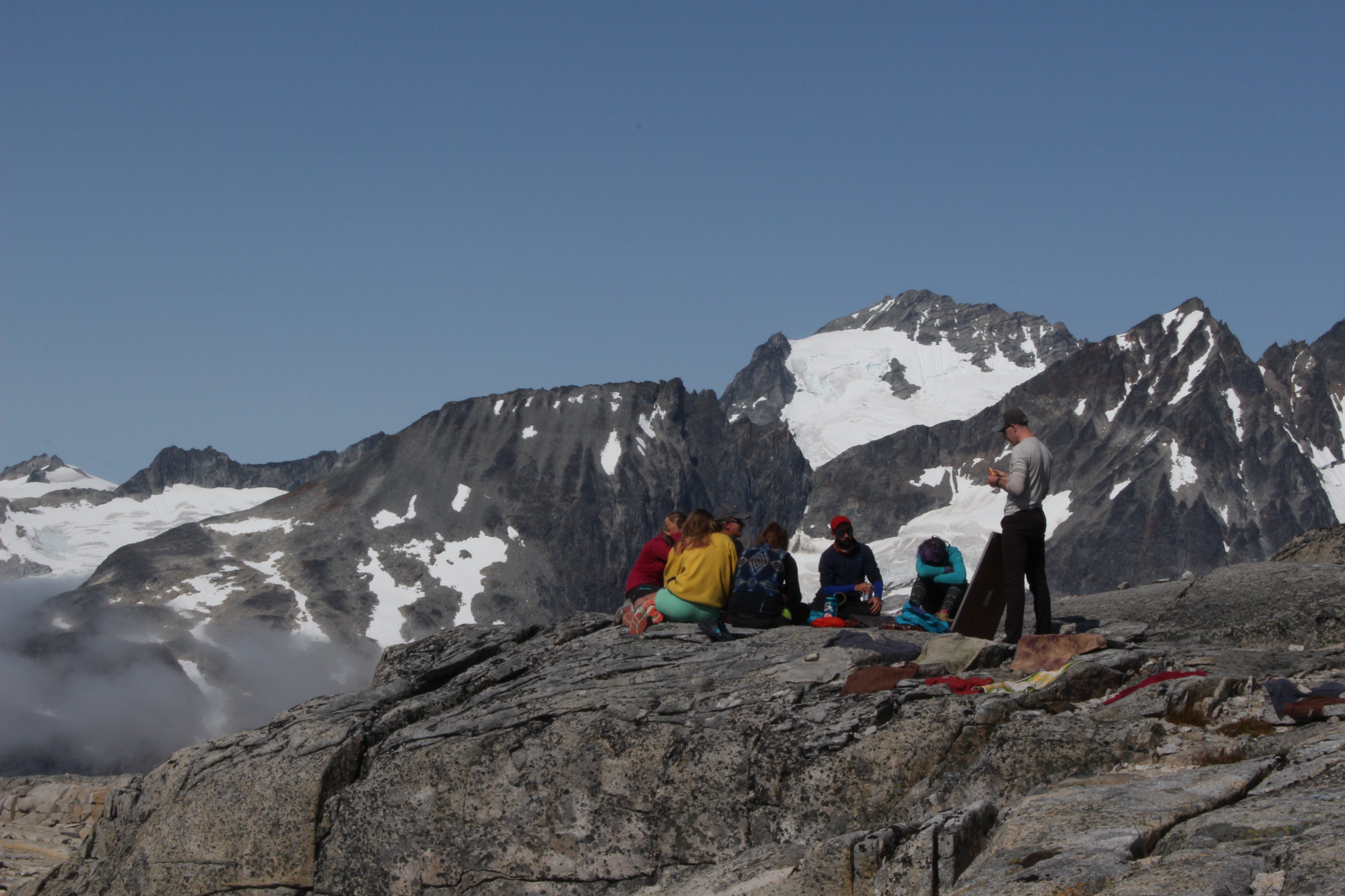
At Camp 18, when the weather permits, the classroom is outdoors. (Photo by Elizabeth Jenkins/KTOO)

To get to the 1,500 square mile ice field, students take a trail behind Juneau’s Home Depot. The multi-day trek involves hiking up steep terrain, climbing and eventually skiing on top of glaciers. Gonzalez-Santiago says to get through it, he had to get out of his own head. But he doesn’t regret spending his summer on ice.

He’s excited to send photos of his goggle tan and the landscape back to his grandma in Puerto Rico. And explain to his family what climate change means. That some of the glaciers, where he just spent two months, are disappearing.

“Yeah, I can show them and say, ‘I’ve witnessed this. I see it. You can’t deny it.’” he said.

This summer, the youngest person on the icefield is fresh outta high school. And the oldest person?

“Well, I won’t tell you that,” said Alf Pinchak.

He’s been coming up here since the 1960s. He says when he was a research fellow with the National Science Foundation, it was glacial streams, not human-caused climate change that caught his attention. Pinchak now helps maintain a project that measures the year-round temperature at some of the camps. And he doesn’t think this will be his last trip.

If you read through the Robert Service poems about this kind of country, I think you’ll come to understand why people come back here: ‘it’s the great big broad land up yonder, it’s the forest where service has lease, it’s the beauty throws me with wonder, it’s the stillness that fills me with peace.’”

Back at the dig, the group has carved out a pit in the snow that’s at least as deep as a few flights of stairs. It’s hours of labor but Olivia Truax doesn’t seem to mind. She says it’s a cool feeling to contribute to such a long-running record.

“But also can be kind of sad when I think about the way our models say the Juneau ice field will be in another 70 years,” she says.

Truax imagines — for her own kids someday — the icefield will be a different and far more dangerous place.

What killed St. Paul’s woolly mammoths?

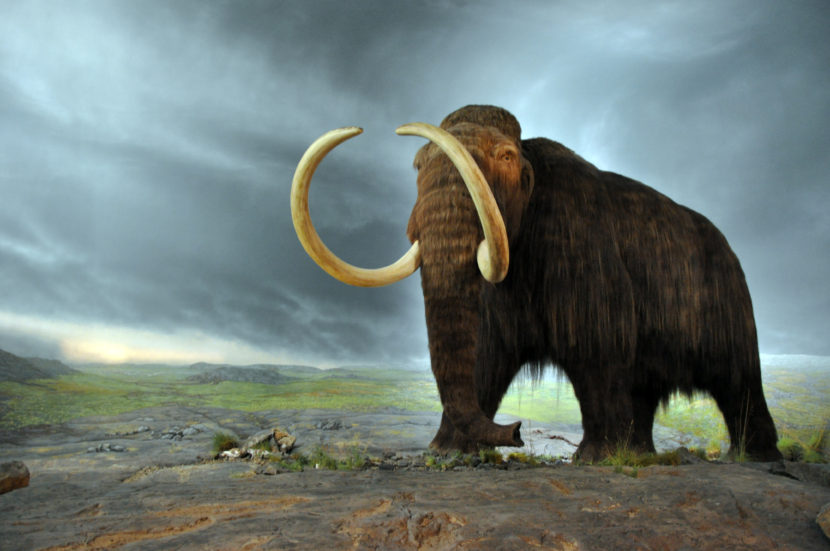
A wooly mammoth on display in the Royal BC Museum. (Photo by FunkMonk/Wikimedia commons)
A woolly mammoth on display in the Royal BC Museum. (Photo by FunkMonk/Wikimedia commons)

What killed the woolly mammoths on St. Paul Island? Thirst. For the first time, scientists have pinpointed the date — 5,600 years ago — and a likely cause of extinction. They believe the environmental changes that killed the animals mirror today’s climate changes.

Six thousand years ago, St. Paul Island looked about the same except for one big difference: There were mammoths. And it’s not like they swam there. Penn State University’s Russell Graham says they walked on the Bering Land Bridge.

“As the glaciers melted, the water in the ocean started to rise,” said Graham. “In this process, a group of mammoths was isolated on the island.”

For a while, it was a good strategy for survival. Without predators, mammoths on St. Paul survived thousands of years longer than many other mammoths around the world. But eventually, they met their end. And Graham and a team of scientists wanted to know exactly when that happened.

“We were able to actually pinpoint when the mammoths actually went extinct,” he said. “It wasn’t like, ‘Well, we think it was this time.’ We actually know!”

Graham’s team analyzed a sediment core from a lake on the island. They examined ancient DNA and three species of fungal spores that grow on the dung of large animals.

Matthew Wooller cores Lake Hill Lake, St. Paul island. (Photo courtesy Jack Williams)
Scientist Matthew Wooller cores Lake Hill Lake on St. Paul Island. (Photo courtesy Jack Williams)

All the evidence pointed to one culprit in the mammoths’ extinction: not enough fresh water. As the sea level rose, St. Paul shrunk. Some lakes were lost to the ocean and a more arid climate caused other freshwater sources to evaporate. As island dwellers, Graham says these mammoths were especially vulnerable.

“A change in the climate of the magnitude that caused this extinction on the mainland probably would have been insignificant,” he said. “But because the animals and plants are restricted to the island — and particularly smaller islands — this little change came together with a whole series of things to create a perfect storm that then caused the extinction.”

In the small world of paleoecology, the findings are a really big deal.

“What is especially powerful about this study is that you have completely independent lines of evidence that back up the same story,” said Jacquelyn Gill of the University of Maine.

As an Ice  Age ecologist, she studies the past to put modern-day environmental problems — like climate change — in context. Since climate change and extinction have happened before, scientists can use what they know about various species responses to help protect today’s biodiversity.

Some might say 6,000 years ago is ancient history. But in geological time, it isn’t. While mammoths roamed St. Paul Island, Gill says ancient Egyptian civilization was well underway.

“When you tell someone, ‘You could have had a mammoth-drawn chariot if things had gone differently,’ I think it makes them think a little bit differently about Ice Age ecology and how relevant this work is to the environmental problems we’re facing right now,” said Gill.

The changing climate that claimed the mammoths of St. Paul has struck again. But this time, it’s human-driven. In June, a small Australian rodent became extinct, driving home Graham’s point that island populations are especially vulnerable.

And Graham says it’s not just the rising sea levels that should concern islands and coastal communities. Take a look at Florida.

“They may be waiting for the water to come up and inundate the peninsula,” Graham said. “But in reality, they maybe should be looking behind themselves because they’re probably going to face other issues — like fresh water availability — before that actually happens.”

The vulnerability of island populations is one lesson from the 72-foot-long sediment core. There could be more. Right now, scientists are hard at work analyzing the rest of it — all 18,000 years.

Site notifications
Update notification options
Subscribe to notifications